
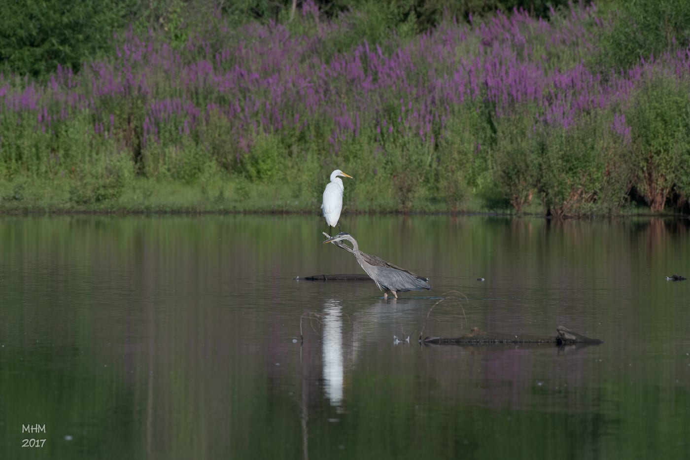
Waterways and wetlands
Rivers, brooks, flood-control landscapes, and protected habitat run through the city between the ridges.
Between the ridge and rivers
Find parks, trails, maps, parking, and events from one starting point that connects the city with its landscape.
Three starting points
Downtown, parks, and greenways show how Meriden has turned infrastructure, industry, and geology into public places.
Rivers, brooks, flood-control landscapes, and protected habitat run through the city between the ridges.
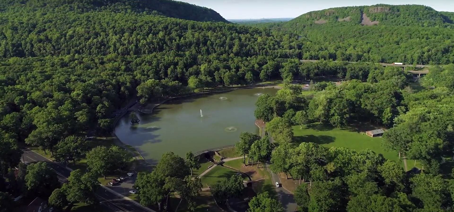
A 1,800-acre municipal park framed by the traprock ridge and home to Castle Craig.
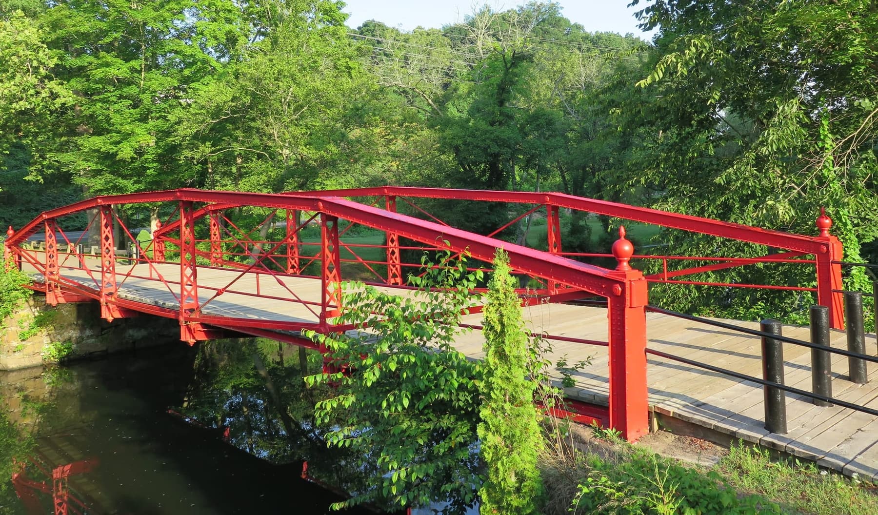
A Meriden landmark over the Quinnipiac River near Oregon Road.
Choose a route
These routes pair local details with the current program, reservation, and guide providers. Confirm closures and changes before heading out.
A line that keeps growing
The Linear Trails Advisory Committee works with agencies, outdoor enthusiasts, and local organizations to develop a multipurpose trail network.
The Quinnipiac River Gorge Trail opened in 2007 and Hanover Pond Trail Phase II followed in 2013. The official guide brings together maps, kiosks, history, and network plans.
Open the trail guides ↗Before you go
Public spaces change with weather, construction, events, and maintenance. Let the latest official source guide your visit.
Find municipal parking before arriving downtown.
Find parking →Check each place's rules, including restrictions on tents, loud music, alcohol, and unleashed dogs.
View facilities ↗Call City Hall or find the right department.
Contact information →