Waterways and wetlands
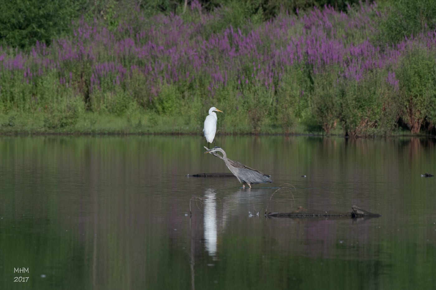
Rivers, brooks, flood-control landscapes, and protected habitat run through the city between the ridges.
Connecticut, at the crossroads
Pay a bill, apply for a permit, report a problem, or find the right record without first knowing which department handles it.
What do you need to do?
Choose a route142 East Main Street · 203-630-4000 · Monday–Friday, 8:00 a.m.–5:00 p.m.
A connected center
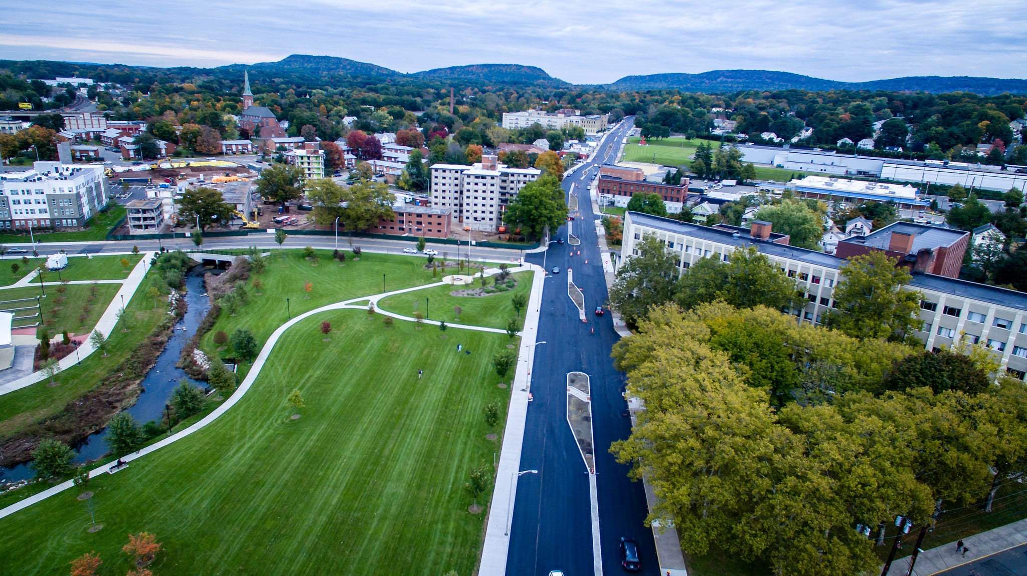
The 14-acre downtown park helps control flooding along Harbor Brook while making room for markets, concerts, and community celebrations.
The same principle guides this site: necessary infrastructure should make everyday life easier. Start with your task and follow one clear route to the official information or tool.
Explore parks and trails →The Silver City
Roads, rail, and industry made Meriden a crossroads. Today, linear trails, streets, and public services still connect its neighborhoods.
Between the ridge and rivers
From Castle Craig to the Red Bridge, Meriden’s public places tell the story of a city surrounded by nature.
Rivers, brooks, flood-control landscapes, and protected habitat run through the city between the ridges.
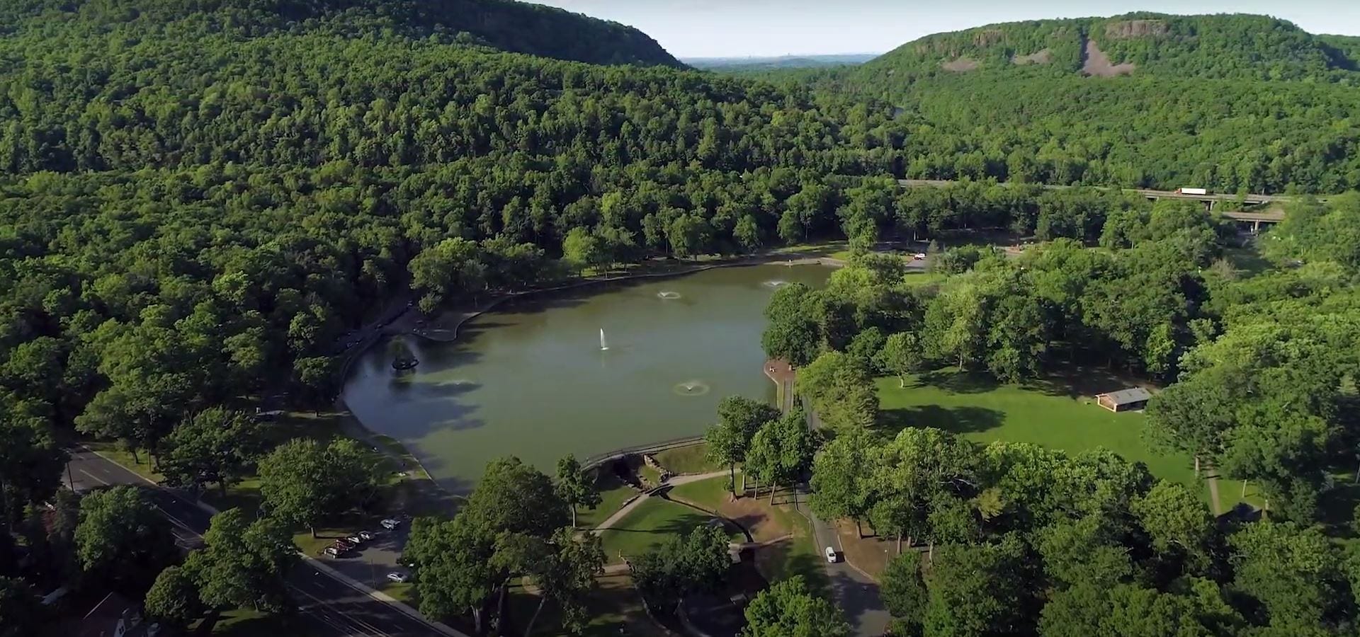
A 1,800-acre municipal park framed by the traprock ridge and home to Castle Craig.
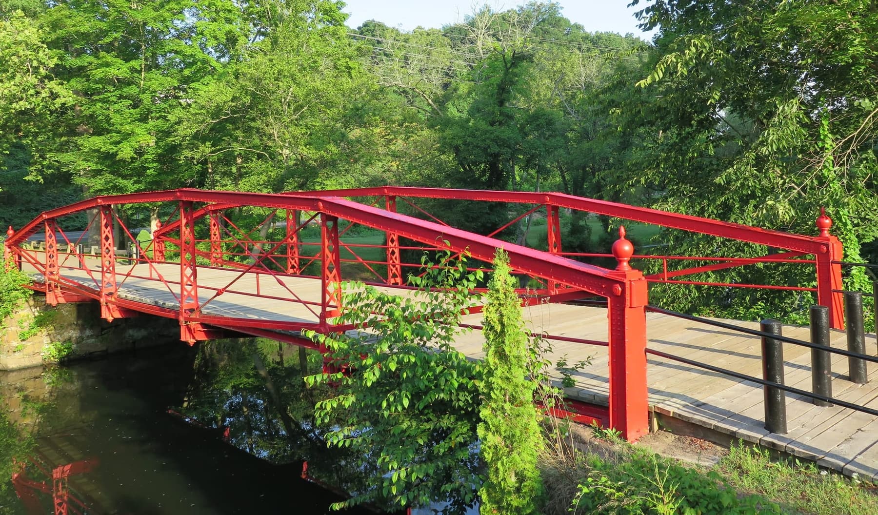
A Meriden landmark over the Quinnipiac River near Oregon Road.
Work for Meriden
Explore current openings and see every step before you apply.