Executive Order 25-63 · Directive #4
See the water Indiana is measuring, right now.
One public front door to Indiana's rivers and aquifers — live streamflow, groundwater levels, watershed trends, and downloadable data, pulled together from the agencies that already measure them.
Try “Wabash River”, “Marion County groundwater”, or “how many streamgages are in Indiana”.
A redesign concept by Stoa Works, built on live public USGS, Census, and federal data to show what Indiana's On-line Water Data Portal could be. Not the official State site.
Live from the U.S. Geological Survey · last refreshed —. Demonstration data for a concept portal.
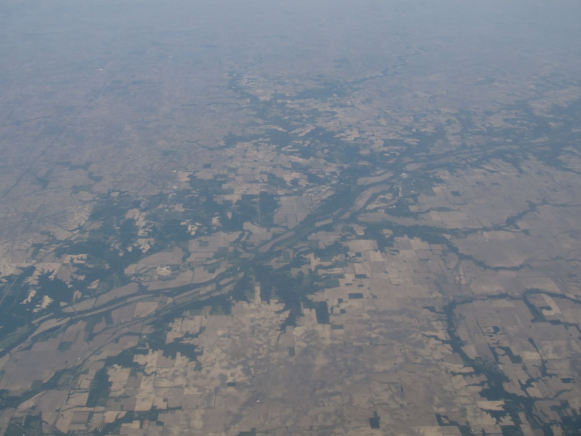
The whole state, one map
Indiana's water, by county or by watershed
The same live network, re-aggregated on demand. Toggle between counties and HUC8 sub-basins to see streamflow, groundwater, and gage coverage at the scale that matters to you — a working demonstration of sub-basin spatial scalability.
Spatial scale
Switch between county and watershed (HUC8) sub-basins — the same data, re-aggregated.
Shade by
Monitoring sites
Explore the map
Tap a county or sub-basin to see its gages and live streamflow, or tap a point for a single site.
Conditions & trends
What the rivers are doing
A featured river, last six months
Explore
Find what you need, fast
Streamflow conditions
Live discharge and gage height for every reporting streamgage, sortable by river, county, or sub-basin.
View conditions →
AquifersGroundwater levels
Depth-to-water from the statewide monitoring network, including DNR–USGS partnership wells.
View groundwater →
Open dataData & downloads
Every layer as CSV, JSON, or GeoJSON, with documented sources and an API guide for developers.
Browse the catalog →
Answer-first
Ask Indiana Water
Plain-language answers from official data — “Which counties have the most gages?”, “What's the flow on the White River?” — with the sources right below.
Why this portal
Indiana decided its water deserves a single, public view
In 2025, Executive Order 25-63 directed a statewide water inventory and management plan. Directive #4 calls for a centralized, publicly accessible platform sharing real-time water data, usage trends, and infrastructure status — shaped by six regional workshops and more than 300 Hoosier stakeholders.
Real-time, in one place
Surface water, groundwater, and watershed context together — no hunting across agency sites.
Built to grow
An integration layer ready for NWS forecasts, the Purdue Mesonet, and DNR well-log and withdrawal data.
For everyone
Planners get depth; the public gets plain answers and conservation education.