
ApplyPlanning and Zoning
Zoning and Building Permits
Zoning permits and the Planning Commission, Zoning Board of Appeals, and Historic District Commission reviews are handled at City Hall; building, electrical, mechanical, and plumbing permits and inspections are handled by Michigan Township Services.
- Zoning
- City Hall, (269) 237-1823
- Building
- Michigan Township Services, (269) 673-3239
- Zoning permit
- $125 to $500
- Fence or sign permit
- $75
Zoning Permits and Building Permits
Zoning at City Hall
Under the direct supervision of the City Manager, the Zoning Administrator administers the city’s zoning/planning/Historic District Commission (HDC) processes, investigates complaints and takes enforcement action.
Grayson Moore, Director of Planning and Zoning, (269) 237-1823
-
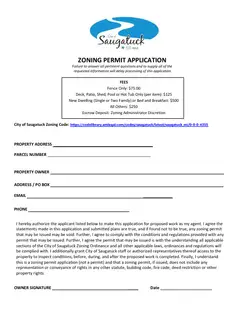
Forms and Applications
Zoning Permit Application
Building at Michigan Township Services
Michigan Township Services was formed in 1979 as a public service company designed to supply municipal governments in western Michigan with trained, State certified, professional building, electrical, plumbing and mechanical inspectors and permit administration on an as-needed basis, paid exclusively by permit fees.
111 Grand Street, Allegan; Monday to Friday, 8 a.m. to noon and 1 to 5 p.m.; (269) 673-3239 or (800) 626-5964
Projects That Go to a Board
- Planning Commission
The City of Saugatuck Planning Commission is a 7 member commission empowered by City Council and is given the authority to establish procedures, standards and administrative rules whereby applicants are required to submit for review and approval a site development plan.
Saugatuck Planning Commission meetings are held at Saugatuck City Hall, 102 Butler Street, Saugatuck, MI 49453 at 6:30 p.m. on the 3rd Thursday of each month unless otherwise noted.
Site plan review $750; special land use, text amendment, or rezoning $1,000; escrow $2,000
- Zoning Board of Appeals
They receive, review and decide on applications for variances, or relief from specific sections of the zoning ordinance. The ZBA is created to provide residents a forum at which they can appeal issues arising from interpretations of the City's zoning ordinance.
Saugatuck Zoning Board of Appeals meetings are held at Saugatuck City Hall, 102 Butler Street, Saugatuck, MI 49453 at 6:30 p.m. on the 2nd Thursday of each month unless otherwise noted.
Variance, appeal, or interpretation $850; escrow $2,000
- Historic District Commission
The Saugatuck Historic District Commission is a municipal commission responsible for reviewing proposed work to the exterior of resources (typically buildings) in the City's Historic District to determine if the work meets the Secretary of the Interior's Standards and Guidelines for Rehabilitation.
Saugatuck Historic District Commission meetings are held at Saugatuck City Hall, 102 Butler Street, Saugatuck, MI 49453 at 6:00 p.m. on the 1st Thursday of each month unless otherwise noted.
Commission review $250; administrative review $50
-
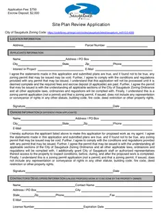
Forms and Applications
Site Plan Review Application
-
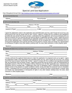
Forms and Applications
Special Land Use Application
-
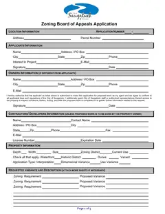
Forms and Applications
Zoning Board of Appeals Application
-
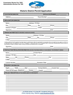
Forms and Applications
Historic District Application
Other City Permits
Signs, tree removal, work in the public right-of-way, waterfront construction, and dividing or adjusting a lot each have their own application, filed at City Hall.
-
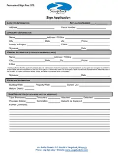
Forms and Applications
Sign Application
-
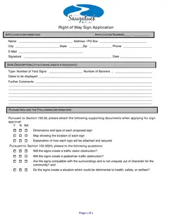
Forms and Applications
Sign Application (Public Right-of-Way)
-
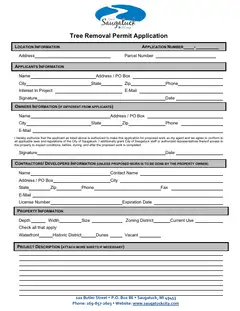
Forms and Applications
Tree Removal Application
-
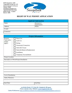
Forms and Applications
Right of Way Permit Application
-
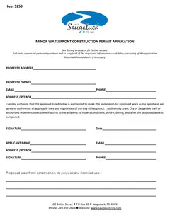
Forms and Applications
Minor Waterfront Construction Permit
-
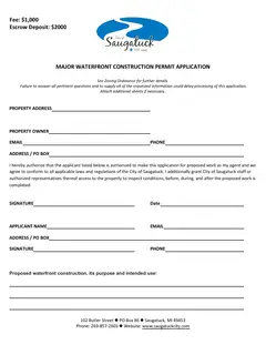
Forms and Applications
Major Waterfront Construction Permit
-
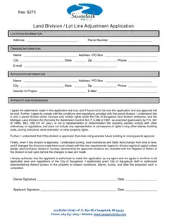
Forms and Applications
Land Division/
Lot Line Adjustment Application -
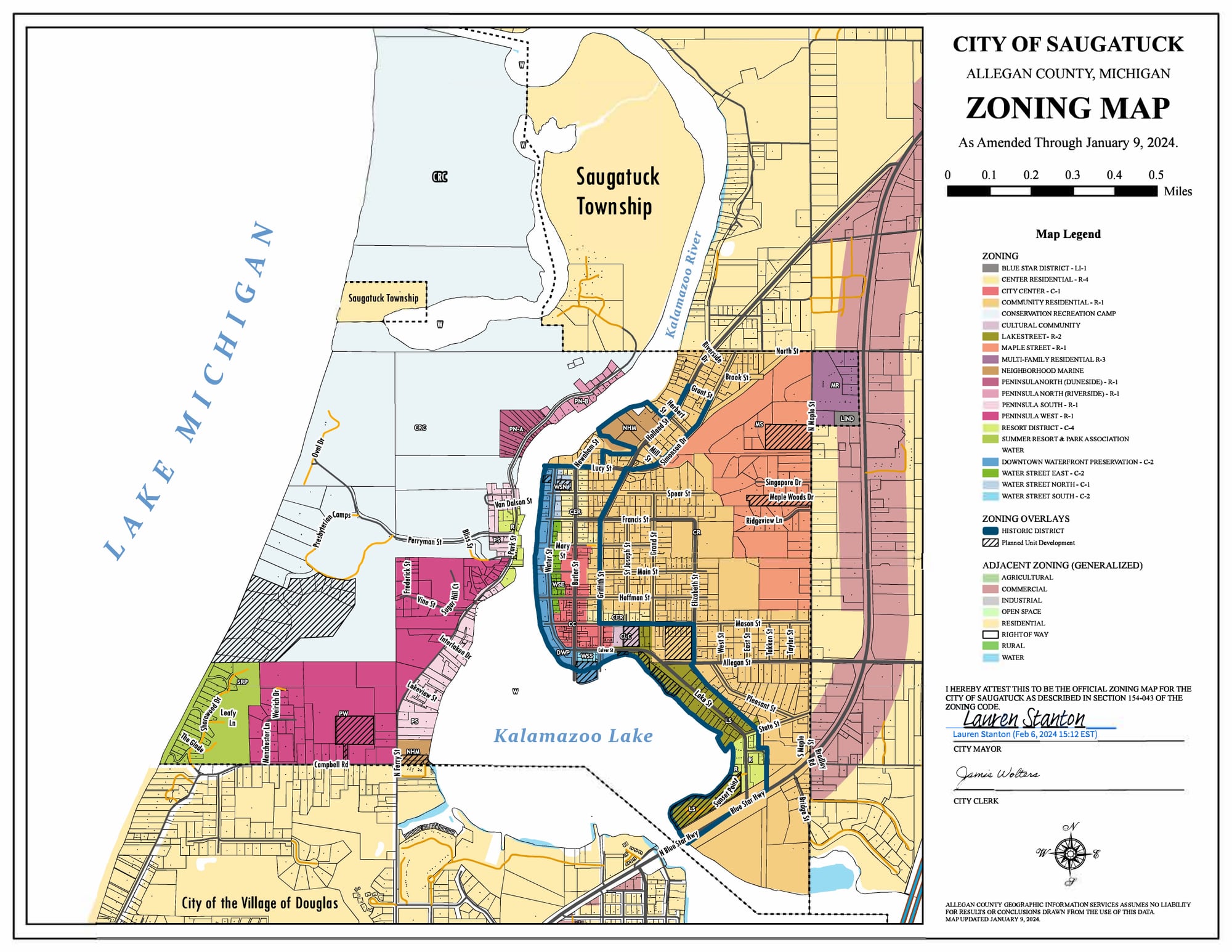
The Zoning Map
The zoning map shows which district each parcel is in, and so which rules apply to it, including where short-term rental licenses are capped.
- Zoning OrdinanceTitle XV, Chapter 154, in the Code of Ordinances
Floodplain Questions
- Where can I get answers to floodplain questions?
- For more information, please contact the City Zoning Administrator at Saugatuck City Hall, (269) 857-2603.
- What is a floodplain?
- A floodplain is an area adjacent to a river, lake or stream that will be inundated by water when a flood occurs. Every river, lake or stream has a floodplain associated with it.
- What is the floodway?
- It is the area of the floodplain that should be reserved (kept free of obstructions) to allow floodwaters to move downstream. Placing fill or buildings in a floodway may block the flow of water and increase flood heights. Because of this, your community will require that you submit engineering analyses before it approves permits for development in the floodway.
- What is a 100-year flood?
- The term "100-year flood" is often incorrectly used and can be misleading. It does not mean that only one flood of that size will occur every 100 years. The term is a statement of probability that scientists and engineers use to describe how one flood compares to others that are likely to occur. Today, we use the phrase "1-percent annual chance flood." What it means is that there is a 1-percent chance of a flood of that size happening in any year. Over a 100-year period, it has a 63.5-percent chance of occurring. Even more surprising is that over a 30-year period (typical mortgage period), the 1-percent annual chance flood has a 26-percent chance of occurring. This means a home in the mapped flood hazard area is five times more likely to be damaged by flood than to have a major fire.
- What is a 100-year floodplain?
- The area that will be inundated by the 100-year flood. It is also the area that is referred to by FEMA as the Special Flood Hazard Area (SFHA). It is the area of a community where development must be regulated through a local ordinance conforming to the National Flood Insurance Program (NFIP).
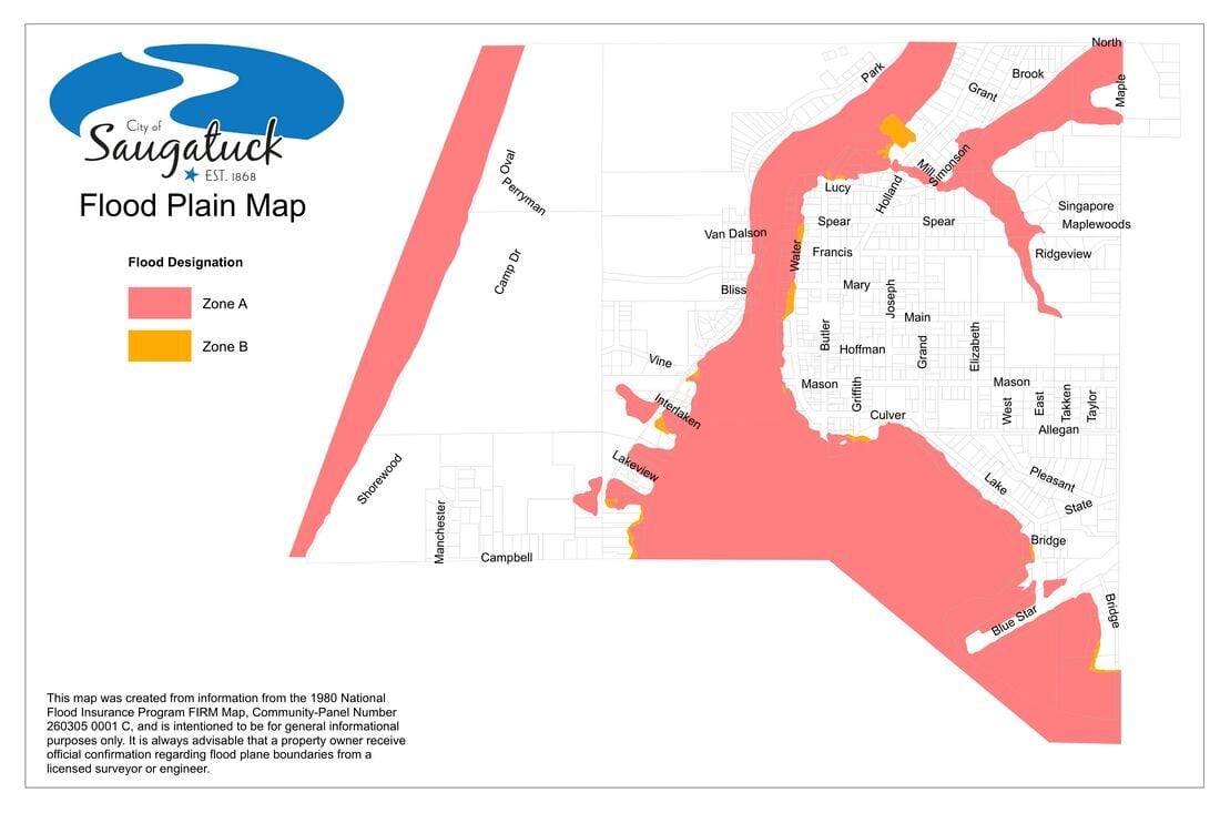
- FEMA floodplain managementFederal floodplain rules and flood insurance
- FEMA Flood Map Service CenterThe current flood maps for any address