
Iron Horse Park

About
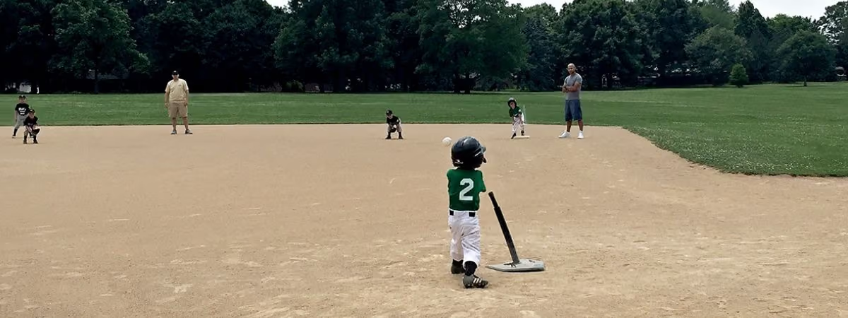
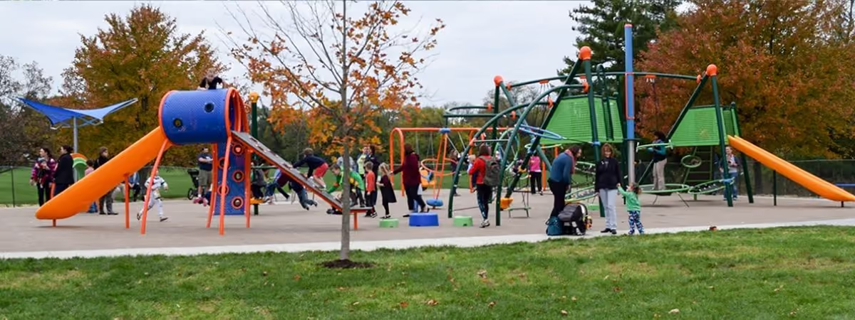
The playground at Iron Horse Park has its own 'Old Ironsides' in honor of the Dayton-Cincinnati Railroad that ran through this area. The park has baseball diamonds and soccer fields. Visitors will see 8 varieties of maples, 10 varieties of oaks, and 9 varieties of evergreens.
The paved Iron Horse Trail runs from I-675, north through Iron Horse Park to Hempstead Station Road in Kettering and is just under 2 miles in length. The trail was paved in a joint project between the Park District, Washington Township, and the cities of Centerville and Kettering.
Recent News
Features
- AED (automated external defibrillator) at shelter
- Baseball Diamonds (2)
- Bicycle Air Pump
- Drinking Fountain (off November-March)
- Grill
- Little Free Library
- Multi-use Trails (paved trails include the Iron Horse trail leading from the park and a 0.6-mile perimeter loop around the park)
- Parking Lot
- Picnic Shelter
- Picnic Tables
- Play Equipment
- Restrooms (portable in winter)
- Sled Hill
History
At one time the Dayton-Cincinnati Railroad ran north and south through Washington Township. The south end of the track bed is preserved at Big Bend Park and the north end of the track bed is preserved at Iron Horse Park. Iron Horse Park received a new playground and Little Free Library in November 2017.
Before You Go
- Hours
- The park is open during daylight hours.
- Address
- 6161 Millshire Dr.
Centerville, OH 45459 - Pets
- Domesticated animals are permitted if they are controlled at all times on a visible leash not more than eight feet long.
Map data © OpenStreetMap contributors and the U.S. Census Bureau
- Woods
- Meadow
- Ball fields
- Play area
- Parking
- Buildings and shelters
- Trail
- Paved path
Map data © OpenStreetMap contributors
Reserve a Shelter
Shelter reservations are made on RecDesk, where you can see open dates and book.
Nearby Parks
- Village South Park Neighborhood park · 17.19 acres
- Red Coach Park Neighborhood park · 5 acres
- Hithergreen Park Neighborhood park · 14.89 acres
- Manor Park Neighborhood park · 7.43 acres