

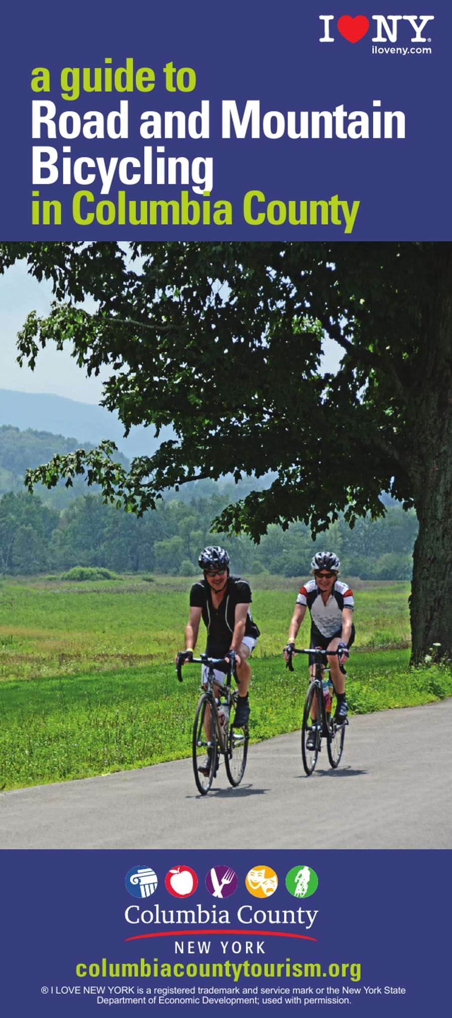
a guide to Road and Mountain COLUMBIA COUNTY Bicycling in Columbia County columbiacountytourism.org ® I LOVE NEW YORK is a registered trademark and service mark or the New York State Department of Economic Development; used with permission.
bicycling Columbia County Columbia County's unsurpassed rural beauty makes cycling through pastoral countryside, historic villages and scenic vistas unique to this area. The loops illustrated on the map break the territory into pleasurable, sometimes challenging rides of various lengths and ability levels. Every effort has been made to create rides that are safe however some segments may place riders on roads with fast moving traffic. Please wear a helmet, bright In addition to the cycling routes, Columbia County is home to a burgeoning group of wineries, distilleries and breweries open for tastings and tours. Historic sites, open seasonally, can be found in all corners of the county and delicious dining opportunities from vintage diners, cafes and gourmet restaurants populate the countryside. For a complete listing of campgrounds, hiking trails and other outdoor recreation, lodging and additional attractions, visit columbiacountytourism.org. *Columbia County Tourism thanks Peter Blandori, Zach Feuer, Gregg Salisbury, Lenny Collins and Kenneth S. Roberts for their input on route selection and ranking.
Map of the fourteen road loops, each drawn in its own color from where it starts, with the bicycle shops (Steiner's Sports in Valatie and Hudson, Velo Domestique Bicycle Shop in Valatie, Bash Bish Bicycle in Copake Falls), the fat bike trails at Art Omi, and the mountain bike trail areas at Greenport Conservation Area, Beebe Hill State Forest, Chatham High School and Taghkanic State Park. The loops are listed with their lengths on page 4.
KINDERHOOK LOOP 42°23’41”N 73°41’53”W gps 30.7 miles CHATHAM LOOP 42°21’46”N 73°35’45”W gps 29.5 miles EAST CHATHAM LOOP- GRAVEL 42°24’38”N 73°31’28”W gps 36.1 miles GHENT LOOP 42°19’33”N 73°37’11”W gps 27.5 miles SPENCERTOWN LOOP 42°19’22”N 73°32’44”W gps 20.3 miles HUDSON NORTH LOOP 42°15’0”N 73°47’23”W gps 24.0 miles HUDSON SOUTH LOOP 42°15’0”N 73°47’23”W gps 16.8 miles PHILMONT LOOP 42°14’56”N 73°38’56”W gps 48.9 miles BASH BISH LOOP 42°7’10”N 73°31’30”W gps 24.3 miles LIVINGSTON LOOP 42°08’32”N 73°46’43”W gps 23.8 miles CLERMONT LOOP 42°4’60”N 73°49’35”W gps 24.1 miles ANCRAM LOOP 42°2’60”N 73°38’8”W gps 36.2 miles ANCRAMDALE LOOP 42°1’05”N 73°35’29”W gps 35.9 miles 42°7’10”N 73°31’30”W gps 5.1 miles 00 05 10 15 20 MILES ridewithgps.com/routes/19560980 ridewithgps.com/routes/19560760 ridewithgps.com/routes/19602979 ridewithgps.com/routes/19561435 ridewithgps.com/routes/19694480 ridewithgps.com/routes/19562020 ridewithgps.com/routes/19562457 ridewithgps.com/routes/19566255 ridewithgps.com/routes/19562531 ridewithgps.com/routes/19562576 ridewithgps.com/routes/19562654 ridewithgps.com/routes/19562556 ridewithgps.com/routes/19935614 HARLEM VALLEY RAIL TRAIL - COPAKE FALLS ridewithgps.com/routes/19317656 25 30 35 40 45 50
biking the trails of Columbia County Mountain biking is growing in popularity and new trails are being developed continually. Nearly 40 miles of trails are currently in existence. The most elaborate trail system is located in the Beebe Hill State Forest. Trail riders are advised to carry cell phones and have appropriate gear as the trails are for experienced mountain bikers. A HUDSON RIVER Open from dawn to dusk C 203 Open outside of school hours and in the summer GREENPORT CONSERVATION AREA A trailforks.com/region/greenport-conservation-area-16392 B trailforks.com/region/beebe-hill-state-forest-12160 ROD AND GUN ROAD JOSLEN BOULEVARD 9 SMITH POND CHATHAM HIGH SCHOOL B The trails at Beebe Hill and Harvey Mountain State Forests have been developed and maintained by the Columbia County Mountain Bike Association. For trail conditions, updates and future trail developments please visit columbiacountymountainbikealliance.com MACEDONIA ROAD Firetower Descent D Rocco Firetower Climb LAKE TAGHKANIC ROAD TSP 5 Dirtfish ORC Shelter Lake Trail Open during park hours - 8:00am - 6:00pm Little Petey Ann Jackson Bartlett Pond LAKE TAGHKANIC South Bottom Pond Trail 5 TAGHKANIC STATE PARK Lake Taghkanic State Park is a 1,569 -acre state park, adjacent to the Taconic State Parkway Red Eft Turkey Hill Tango Lake Trail Bear Brook Trail BEEBE ROAD MOUNTAIN STATE FOREST C trailforks.com/trails/class-of-2017 D trailforks.com/region/lake-taghkanic-state-park-16386 LAKE TAGHKANIC FOG HILL ROAD Solitude LSD/Salsa Verde 22 Lake Trail BEEBE HILL STATE FOREST Route 22 Connector Ninja Test HARVEY MOUNTAIN STATE FOREST Catch 22 Alter Ego access trail 22 Alter Ego Lower Harvey photos: OWEN POLAND
Columbia County is a perfect getaway destination year round. Hudson, the county seat, features a vibrant music and art scene, 5 star dining, eclectic shopping and Hudson River cruises. The performing arts take center stage during the summer months and outdoor recreation options are all season. Request your Visitor and Dining Guide at columbiacountytourism.org today. Public Trails Empire Trail empiretrail.ny.gov Albany-Hudson Electric Trail ahettrail.org Harlem Valley Rail Trail hvrt.org a guide to Artisanal Beverage Makers in Columbia County columbiacountytourism.org BIKE SHOPS Steiner’s Sports 3455 U.S. 9, Valatie - 518 784 3663 Velo Domestique Bicycle Shop 1006 Kinderhook Street, Valatie - 518 392 3010 Steiner’s Sports 301 Warren Street, Hudson - 518 828 5063 Bash Bish Bicycle 247 NY-344, Copake Falls - 518 329 4962 NYC 2.25 hours bikecoco.com ALBANY BOSTON 2.25 hours For detailed bike maps and information visit: