
Workshop Agenda item 7C
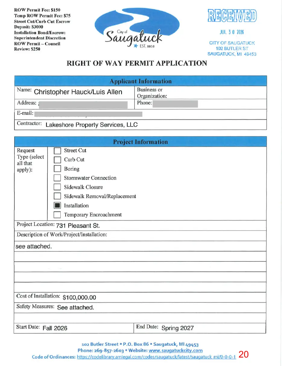
Right of Way Permit Application - 731 Pleasant Street
City Council Workshop, Wednesday, August 19, 2026
Download these 18 pages, 7.3 MB Whole packet, 32 pages, 8.5 MB
Page 15
Text of page 15
MEMORANDUM TO:
City Council City of Saugatuck
FROM:
Grayson Moore Director of Planning/Zoning
MEETING DATE: RE:
David Jirousek, AICP Consulting Planner
September 19, 2026 Right of Way Permit Application, Christopher Hauck & Luis Allen: 731 Pleasant Street
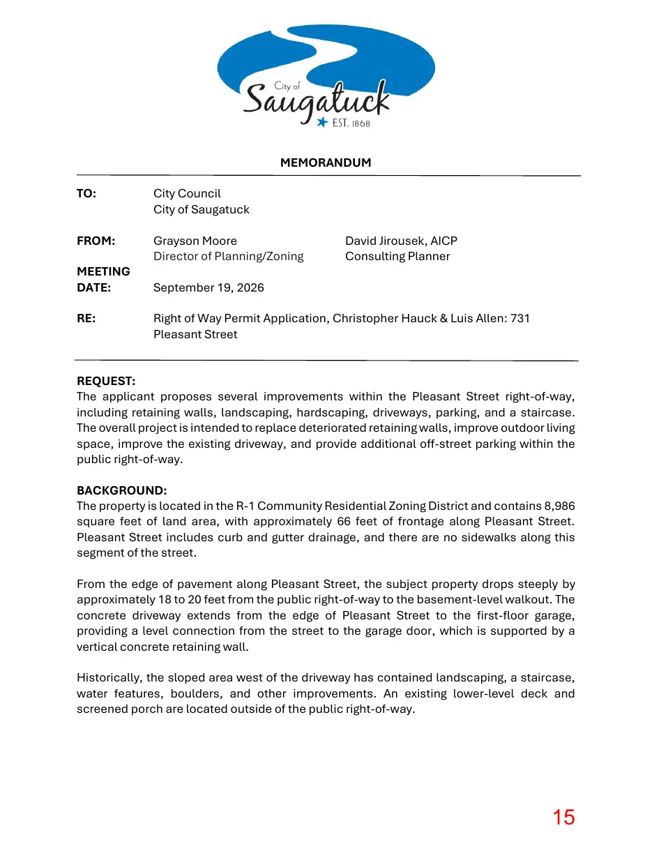
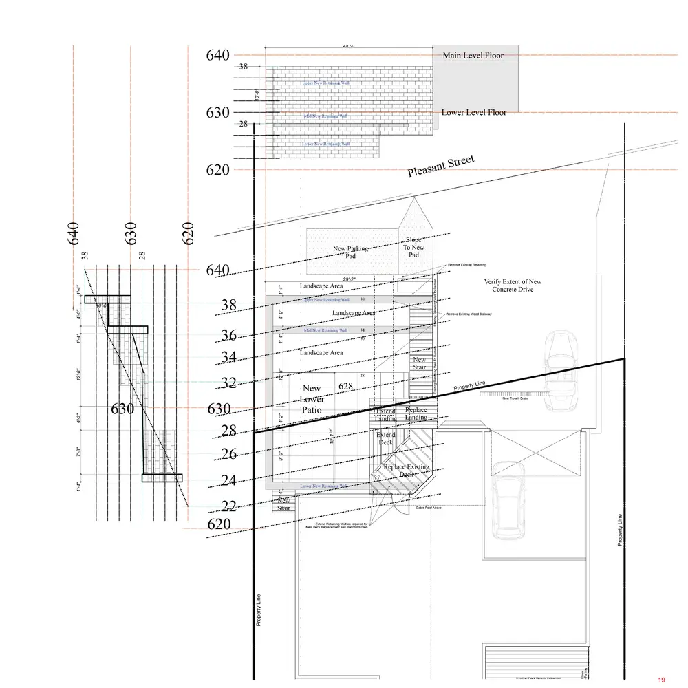
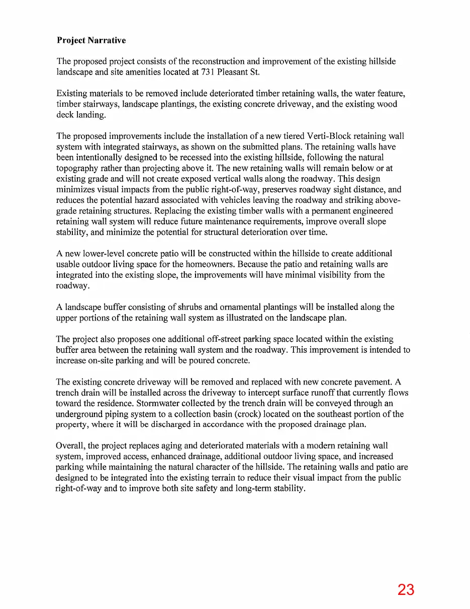
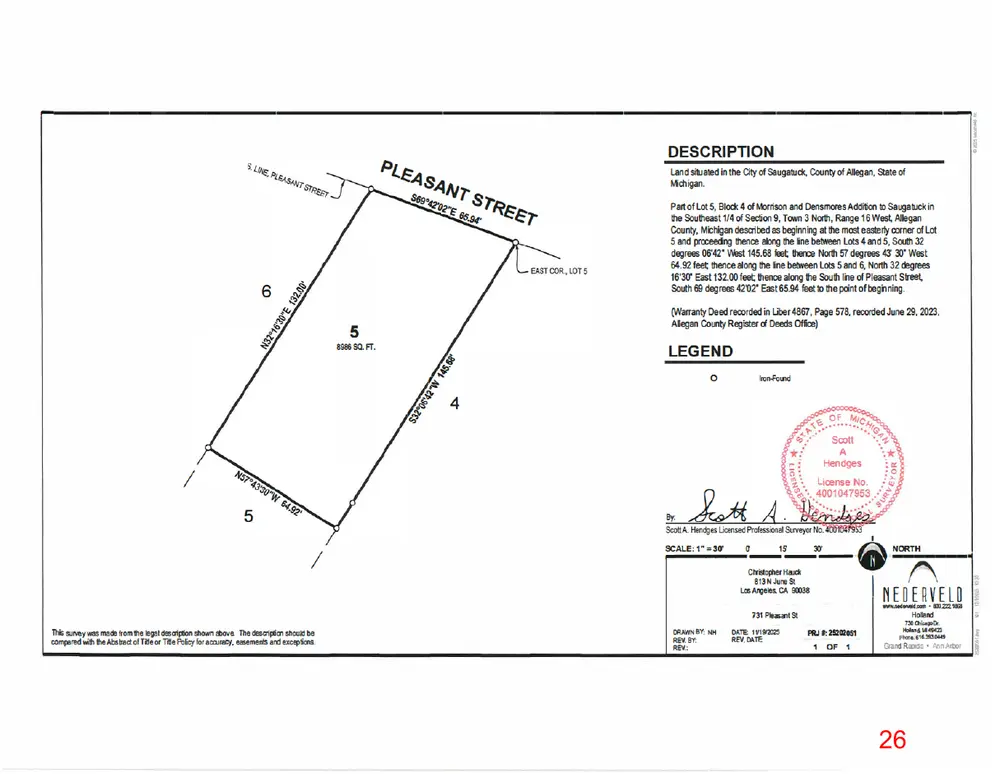
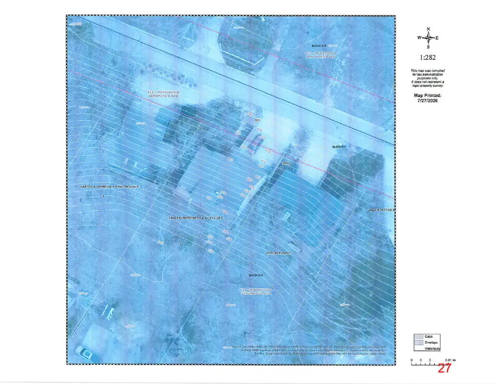
REQUEST: The applicant proposes several improvements within the Pleasant Street right-of-way, including retaining walls, landscaping, hardscaping, driveways, parking, and a staircase. The overall project is intended to replace deteriorated retaining walls, improve outdoor living space, improve the existing driveway, and provide additional off-street parking within the public right-of-way. BACKGROUND: The property is located in the R-1 Community Residential Zoning District and contains 8,986 square feet of land area, with approximately 66 feet of frontage along Pleasant Street. Pleasant Street includes curb and gutter drainage, and there are no sidewalks along this segment of the street. From the edge of pavement along Pleasant Street, the subject property drops steeply by approximately 18 to 20 feet from the public right-of-way to the basement-level walkout. The concrete driveway extends from the edge of Pleasant Street to the first-floor garage, providing a level connection from the street to the garage door, which is supported by a vertical concrete retaining wall. Historically, the sloped area west of the driveway has contained landscaping, a staircase, water features, boulders, and other improvements. An existing lower-level deck and screened porch are located outside of the public right-of-way.
Page 16
Text of page 16
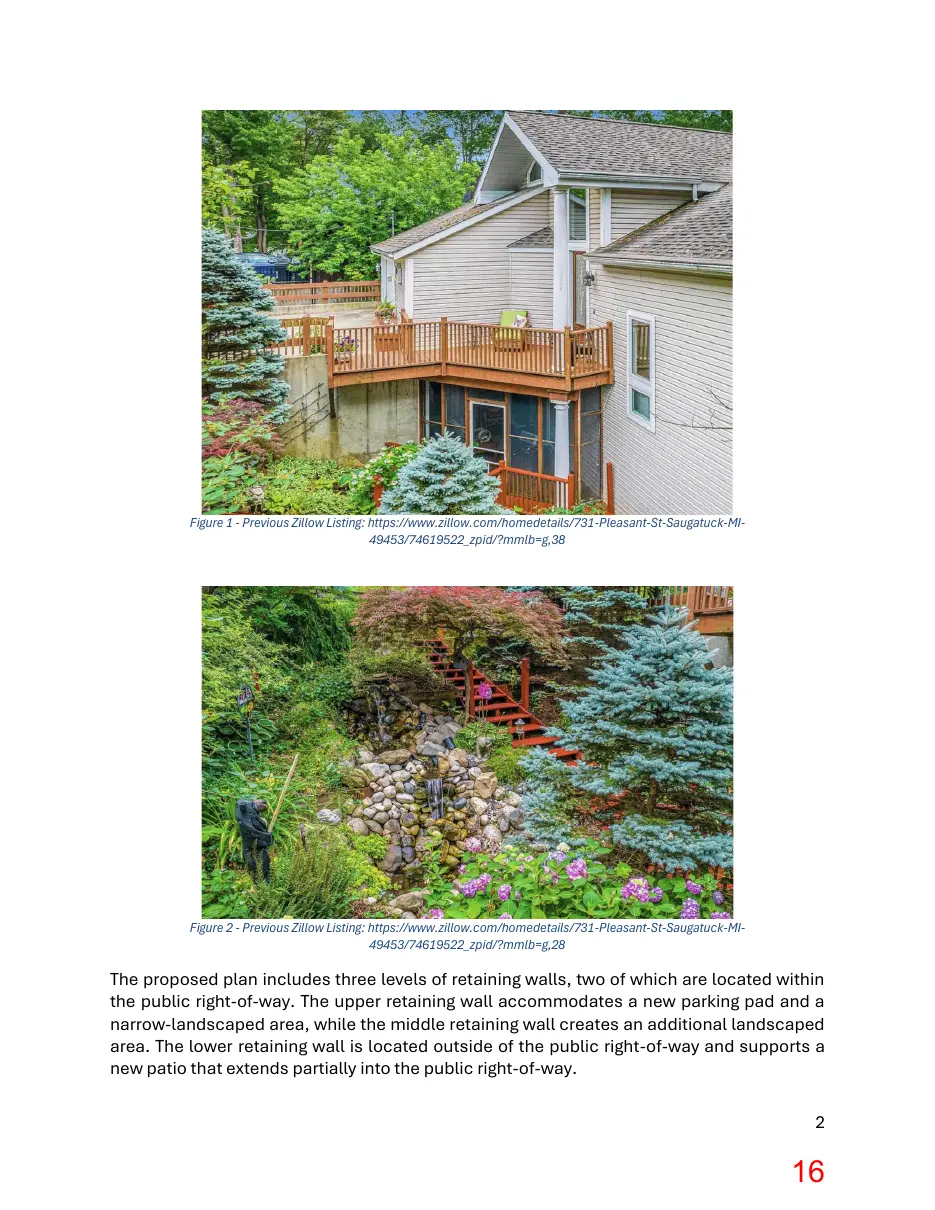
Figure 1 - Previous Zillow Listing: https://www.zillow.com/homedetails/731-Pleasant-St-Saugatuck-MI49453/74619522_zpid/?mmlb=g,38
Figure 2 - Previous Zillow Listing: https://www.zillow.com/homedetails/731-Pleasant-St-Saugatuck-MI49453/74619522_zpid/?mmlb=g,28
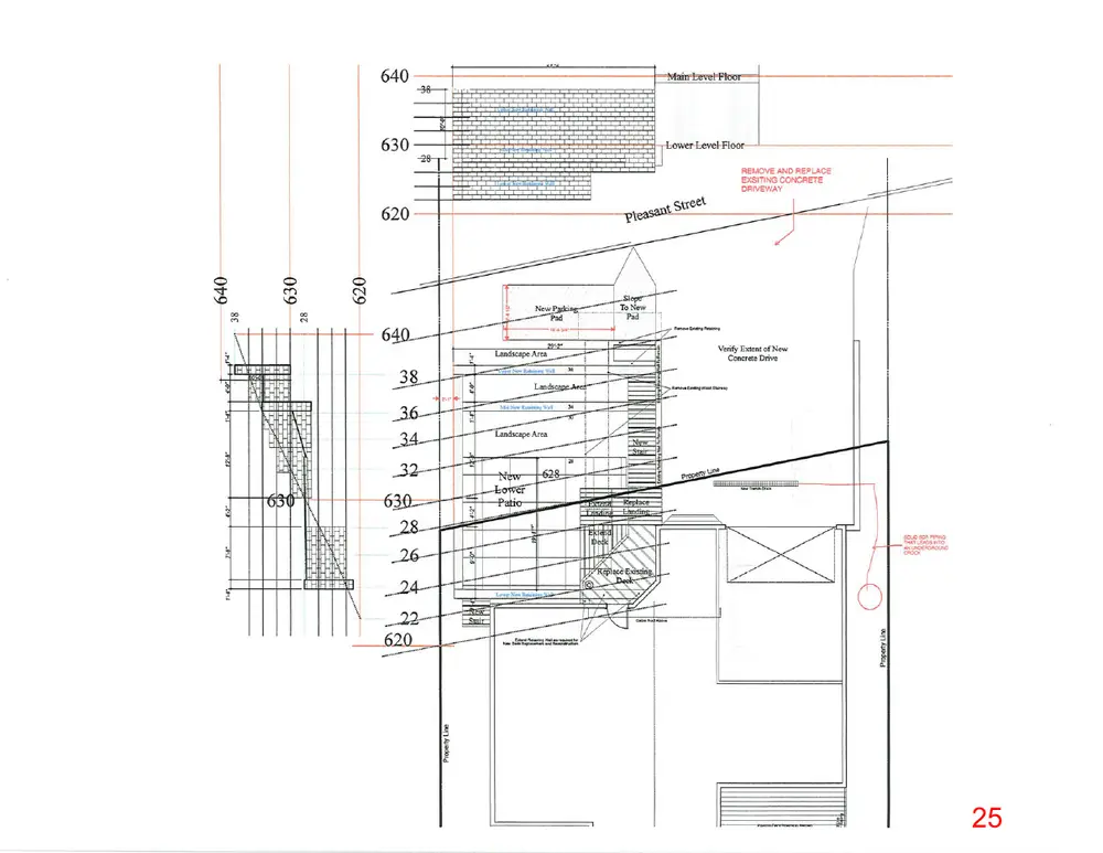
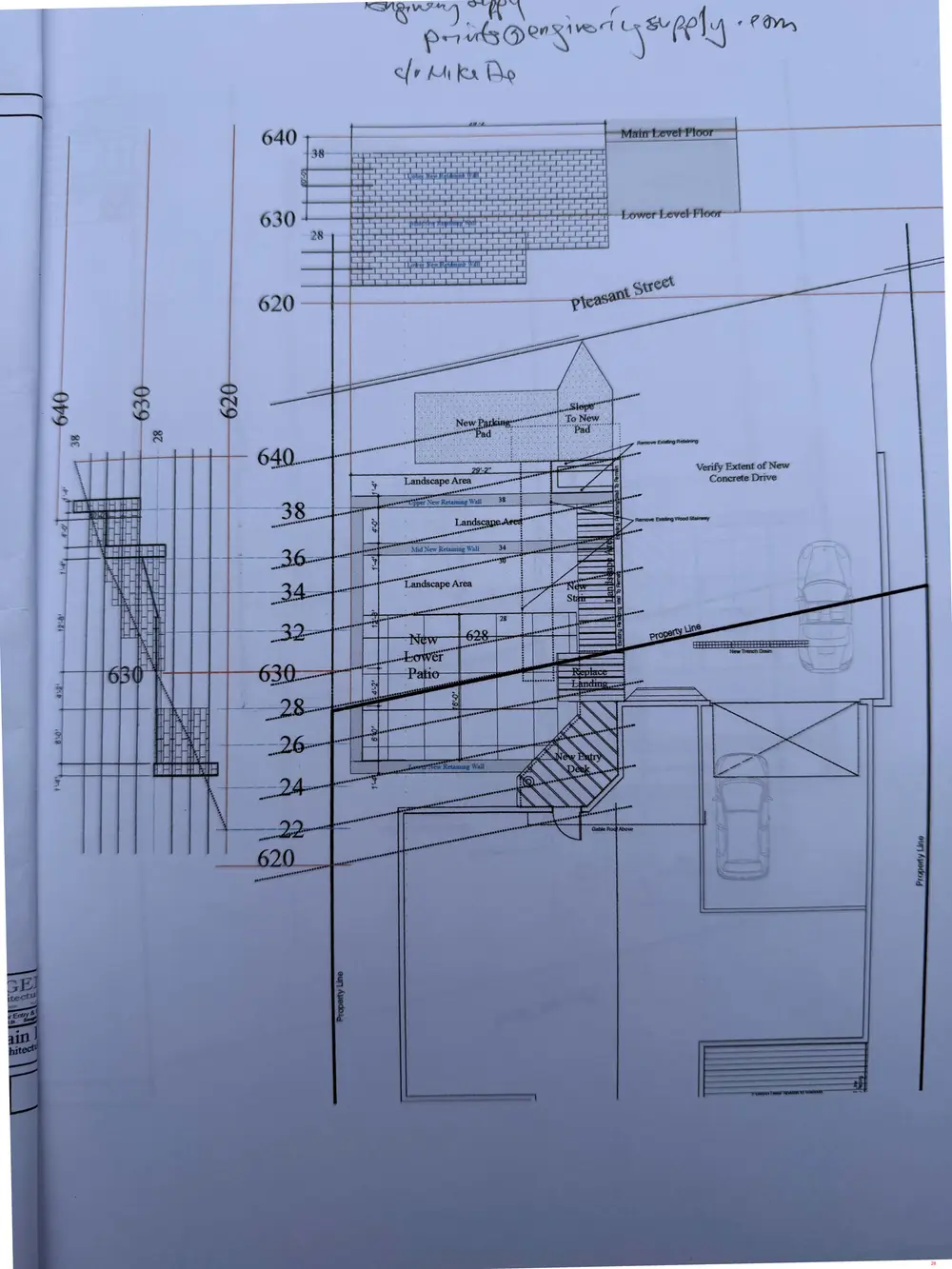
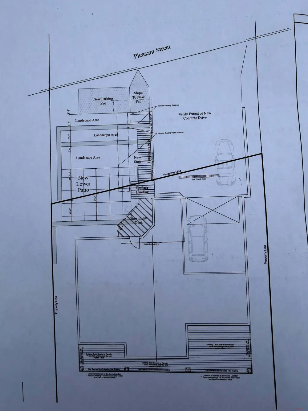
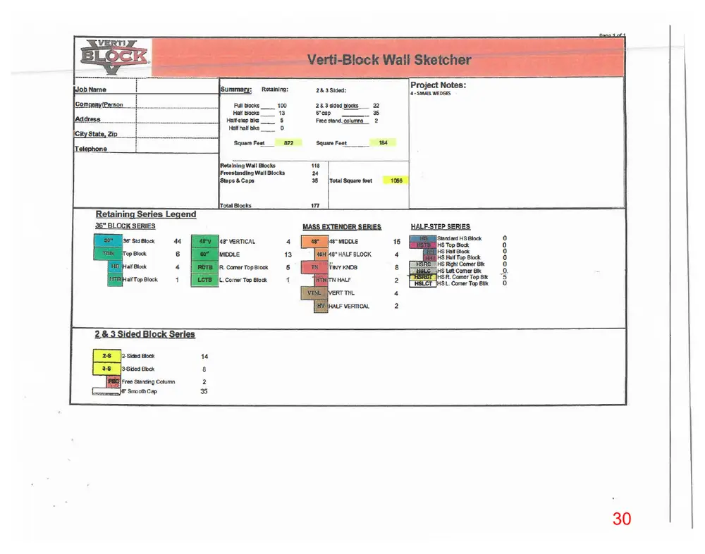
The proposed plan includes three levels of retaining walls, two of which are located within the public right-of-way. The upper retaining wall accommodates a new parking pad and a narrow-landscaped area, while the middle retaining wall creates an additional landscaped area. The lower retaining wall is located outside of the public right-of-way and supports a new patio that extends partially into the public right-of-way. 2
Page 17
Text of page 17
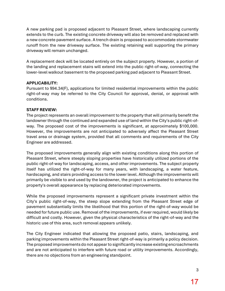
A new parking pad is proposed adjacent to Pleasant Street, where landscaping currently extends to the curb. The existing concrete driveway will also be removed and replaced with a new concrete pavement surface. A trench drain is proposed to accommodate stormwater runoff from the new driveway surface. The existing retaining wall supporting the primary driveway will remain unchanged. A replacement deck will be located entirely on the subject property. However, a portion of the landing and replacement stairs will extend into the public right-of-way, connecting the lower-level walkout basement to the proposed parking pad adjacent to Pleasant Street. APPLICABILITY: Pursuant to §94.34(F), applications for limited residential improvements within the public right-of-way may be referred to the City Council for approval, denial, or approval with conditions. STAFF REVIEW: The project represents an overall improvement to the property that will primarily benefit the landowner through the continued and expanded use of land within the City's public right-ofway. The proposed cost of the improvements is significant, at approximately $100,000. However, the improvements are not anticipated to adversely affect the Pleasant Street travel area or drainage system, provided that all comments and requirements of the City Engineer are addressed. The proposed improvements generally align with existing conditions along this portion of Pleasant Street, where steeply sloping properties have historically utilized portions of the public right-of-way for landscaping, access, and other improvements. The subject property itself has utilized the right-of-way for many years, with landscaping, a water feature, hardscaping, and stairs providing access to the lower level. Although the improvements will primarily be visible to and used by the landowner, the project is anticipated to enhance the property's overall appearance by replacing deteriorated improvements. While the proposed improvements represent a significant private investment within the City's public right-of-way, the steep slope extending from the Pleasant Street edge of pavement substantially limits the likelihood that this portion of the right-of-way would be needed for future public use. Removal of the improvements, if ever required, would likely be difficult and costly. However, given the physical characteristics of the right-of-way and the historic use of this area, such removal appears unlikely. The City Engineer indicated that allowing the proposed patio, stairs, landscaping, and parking improvements within the Pleasant Street right-of-way is primarily a policy decision. The proposed improvements do not appear to significantly increase existing encroachments and are not anticipated to interfere with future road or utility improvements. Accordingly, there are no objections from an engineering standpoint. 3
Page 18
Text of page 18
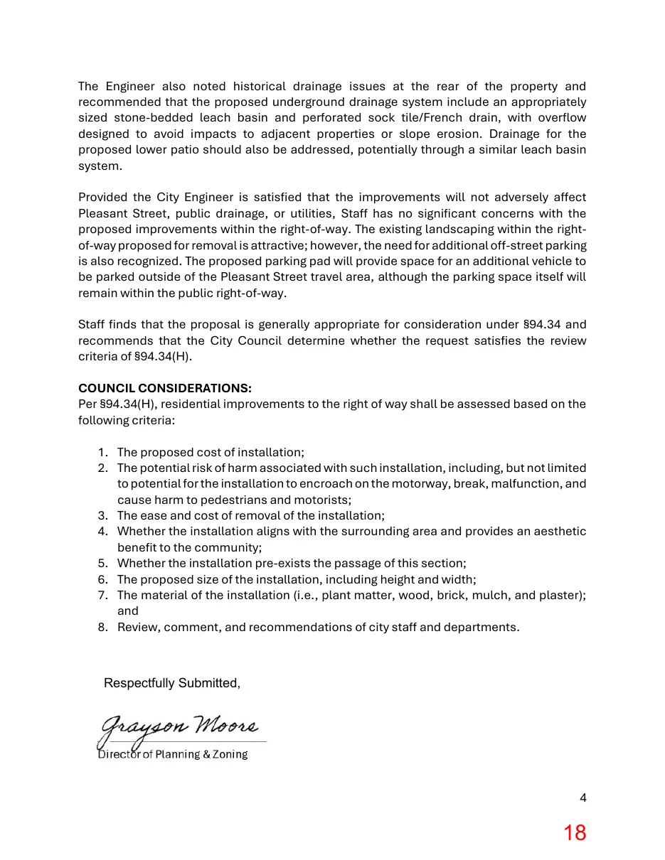
The Engineer also noted historical drainage issues at the rear of the property and recommended that the proposed underground drainage system include an appropriately sized stone-bedded leach basin and perforated sock tile/French drain, with overflow designed to avoid impacts to adjacent properties or slope erosion. Drainage for the proposed lower patio should also be addressed, potentially through a similar leach basin system. Provided the City Engineer is satisfied that the improvements will not adversely affect Pleasant Street, public drainage, or utilities, Staff has no significant concerns with the proposed improvements within the right-of-way. The existing landscaping within the rightof-way proposed for removal is attractive; however, the need for additional off-street parking is also recognized. The proposed parking pad will provide space for an additional vehicle to be parked outside of the Pleasant Street travel area, although the parking space itself will remain within the public right-of-way. Staff finds that the proposal is generally appropriate for consideration under §94.34 and recommends that the City Council determine whether the request satisfies the review criteria of §94.34(H). COUNCIL CONSIDERATIONS: Per §94.34(H), residential improvements to the right of way shall be assessed based on the following criteria: 1. The proposed cost of installation; 2. The potential risk of harm associated with such installation, including, but not limited to potential for the installation to encroach on the motorway, break, malfunction, and cause harm to pedestrians and motorists; 3. The ease and cost of removal of the installation; 4. Whether the installation aligns with the surrounding area and provides an aesthetic benefit to the community; 5. Whether the installation pre-exists the passage of this section; 6. The proposed size of the installation, including height and width; 7. The material of the installation (i.e., plant matter, wood, brick, mulch, and plaster); and 8. Review, comment, and recommendations of city staff and departments.
Respectfully Submitted,
Page 19
This page is a scanned image with no text layer. The PDF of these pages has it at full resolution.
Page 20
This page is a scanned image with no text layer. The PDF of these pages has it at full resolution.
Page 21
This page is a scanned image with no text layer. The PDF of these pages has it at full resolution.
Page 22
This page is a scanned image with no text layer. The PDF of these pages has it at full resolution.
Page 23
This page is a scanned image with no text layer. The PDF of these pages has it at full resolution.
Page 24
This page is a scanned image with no text layer. The PDF of these pages has it at full resolution.
Page 25
This page is a scanned image with no text layer. The PDF of these pages has it at full resolution.
Page 26
This page is a scanned image with no text layer. The PDF of these pages has it at full resolution.
Page 27
This page is a scanned image with no text layer. The PDF of these pages has it at full resolution.
Page 28
This page is a scanned image with no text layer. The PDF of these pages has it at full resolution.
Page 29
This page is a scanned image with no text layer. The PDF of these pages has it at full resolution.
Page 30
This page is a scanned image with no text layer. The PDF of these pages has it at full resolution.
Page 31
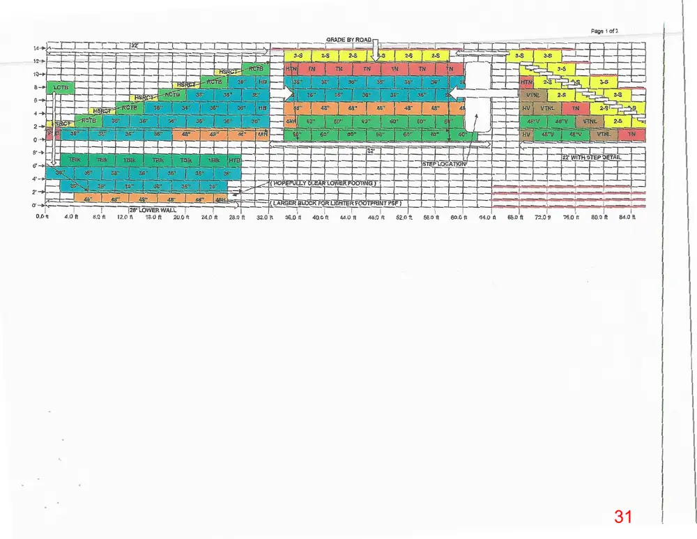
This page is a scanned image with no text layer. The PDF of these pages has it at full resolution.
Page 32
This page is a scanned image with no text layer. The PDF of these pages has it at full resolution.