
Council Agenda item 9D
Resolution No. 260413-C - Authorizing Lakeview to be Added to the City’s Act 51 Map
City Council, Monday, April 13, 2026
Download these 7 pages, 2.7 MB Whole packet, 260 pages, 46.1 MB
Page 13
Text of page 13
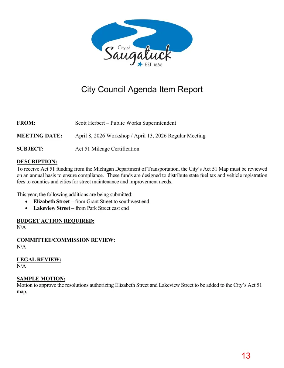
City Council Agenda Item Report
FROM:
Scott Herbert – Public Works Superintendent
MEETING DATE:
April 8, 2026 Workshop / April 13, 2026 Regular Meeting
SUBJECT:
Act 51 Mileage Certification
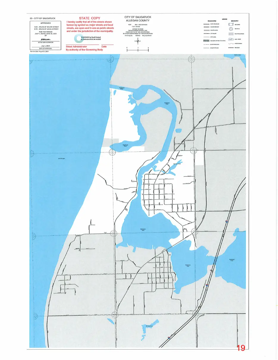
DESCRIPTION: To receive Act 51 funding from the Michigan Department of Transportation, the City’s Act 51 Map must be reviewed on an annual basis to ensure compliance. These funds are designed to distribute state fuel tax and vehicle registration fees to counties and cities for street maintenance and improvement needs. This year, the following additions are being submitted: • Elizabeth Street – from Grant Street to southwest end • Lakeview Street – from Park Street east end BUDGET ACTION REQUIRED: N/A COMMITTEE/COMMISSION REVIEW: N/A LEGAL REVIEW: N/A SAMPLE MOTION: Motion to approve the resolutions authorizing Elizabeth Street and Lakeview Street to be added to the City’s Act 51 map.
Page 14
Text of page 14
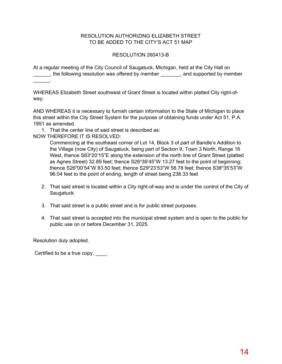
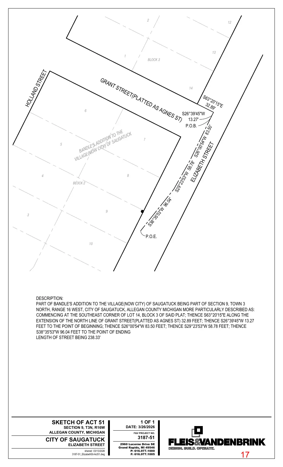
RESOLUTION AUTHORIZING ELIZABETH STREET TO BE ADDED TO THE CITY’S ACT 51 MAP RESOLUTION 260413-B At a regular meeting of the City Council of Saugatuck, Michigan, held at the City Hall on ______, the following resolution was offered by member _______, and supported by member ______. WHEREAS Elizabeth Street southwest of Grant Street is located within platted City right-ofway; AND WHEREAS it is necessary to furnish certain information to the State of Michigan to place this street within the City Street System for the purpose of obtaining funds under Act 51, P.A. 1951 as amended. 1. That the center line of said street is described as: NOW THEREFORE IT IS RESOLVED: Commencing at the southeast corner of Lot 14, Block 3 of part of Bandle’s Addition to the Village (now City) of Saugatuck, being part of Section 9, Town 3 North, Range 16 West, thence S63o20’15”E along the extension of the north line of Grant Street (platted as Agnes Street) 32.89 feet; thence S26o39’45”W 13.27 feet to the point of beginning; thence S26o00’54”W 83.50 feet; thence S29o23’53”W 58.78 feet; thence S38o35’53”W 96.04 feet to the point of ending, length of street being 238.33 feet 2. That said street is located within a City right-of-way and is under the control of the City of Saugatuck. 3. That said street is a public street and is for public street purposes. 4. That said street is accepted into the municipal street system and is open to the public for public use on or before December 31, 2025. Resolution duly adopted. Certified to be a true copy, ____.
Page 15
Text of page 15
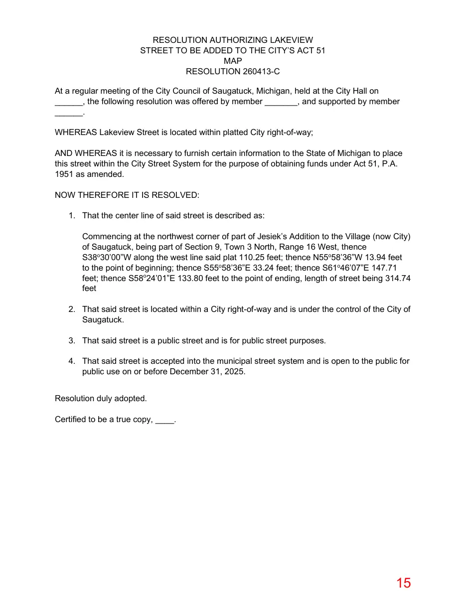
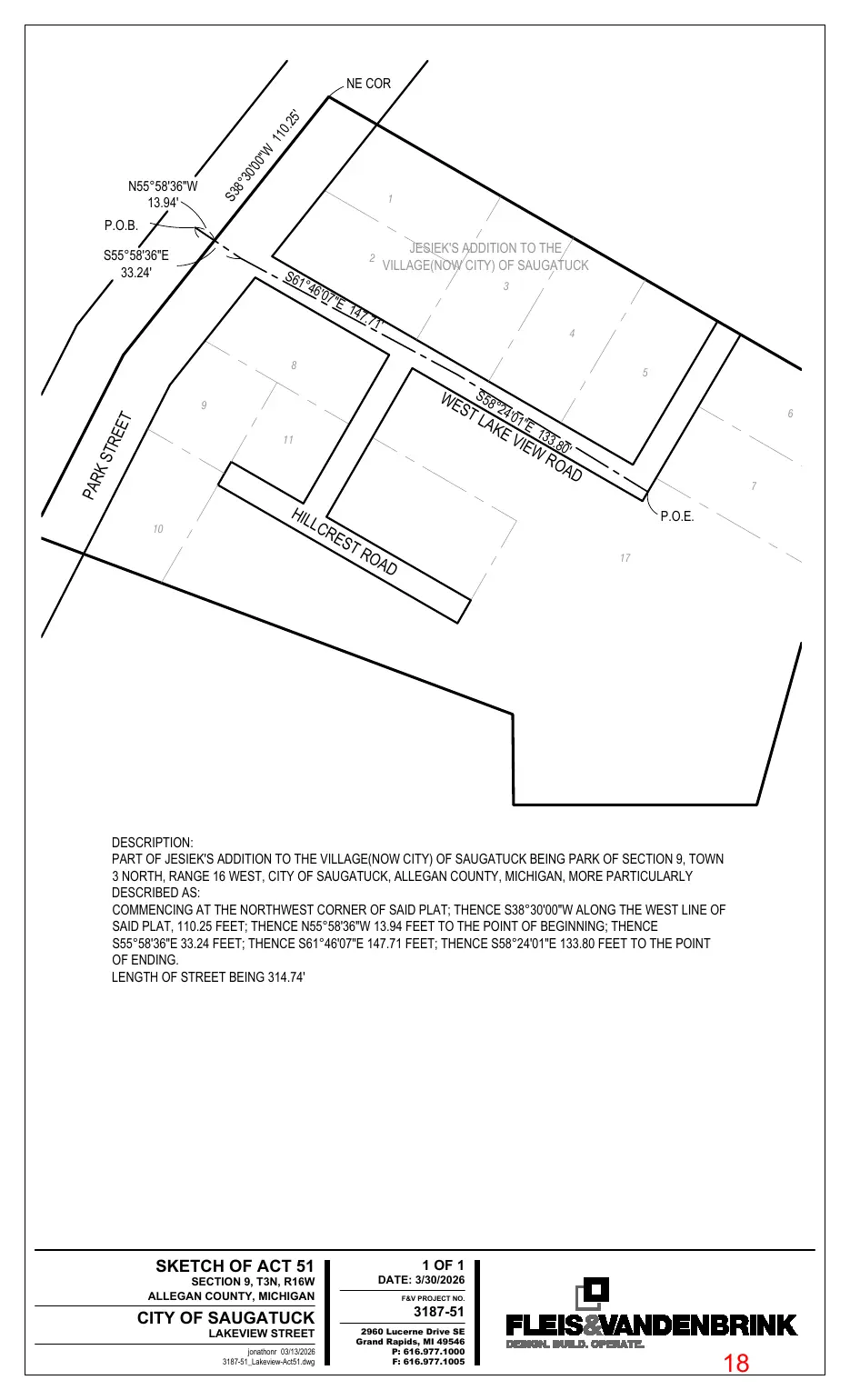
RESOLUTION AUTHORIZING LAKEVIEW STREET TO BE ADDED TO THE CITY’S ACT 51 MAP RESOLUTION 260413-C At a regular meeting of the City Council of Saugatuck, Michigan, held at the City Hall on ______, the following resolution was offered by member _______, and supported by member ______. WHEREAS Lakeview Street is located within platted City right-of-way; AND WHEREAS it is necessary to furnish certain information to the State of Michigan to place this street within the City Street System for the purpose of obtaining funds under Act 51, P.A. 1951 as amended. NOW THEREFORE IT IS RESOLVED: 1. That the center line of said street is described as: Commencing at the northwest corner of part of Jesiek’s Addition to the Village (now City) of Saugatuck, being part of Section 9, Town 3 North, Range 16 West, thence S38o30’00”W along the west line said plat 110.25 feet; thence N55o58’36”W 13.94 feet to the point of beginning; thence S55o58’36”E 33.24 feet; thence S61o46’07”E 147.71 feet; thence S58o24’01”E 133.80 feet to the point of ending, length of street being 314.74 feet 2. That said street is located within a City right-of-way and is under the control of the City of Saugatuck. 3. That said street is a public street and is for public street purposes. 4. That said street is accepted into the municipal street system and is open to the public for public use on or before December 31, 2025. Resolution duly adopted. Certified to be a true copy, ____.
Page 16
Text of page 16
If you require assistance accessing this information or require it in an alternative format, contact the Michigan Department of Transportation’s (MDOT) Americans with Disabilities Act (ADA) coordinator at www.Michigan.gov/MDOT-ADA. Michigan Department of Transportation 2008B (11/2025)
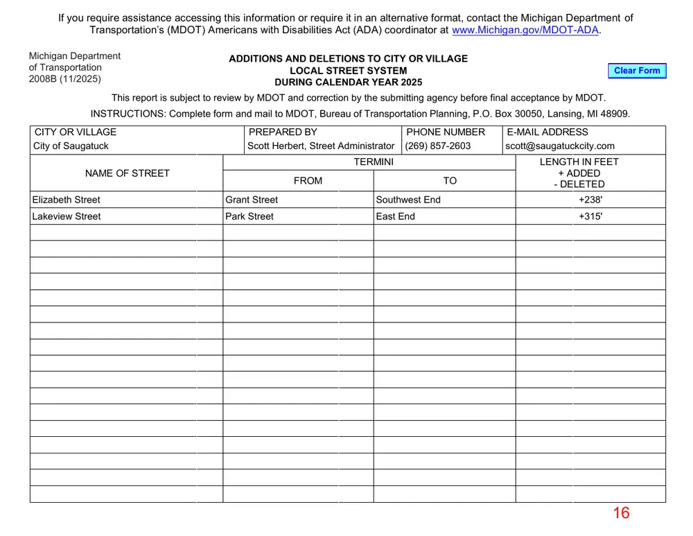
ADDITIONS AND DELETIONS TO CITY OR VILLAGE LOCAL STREET SYSTEM DURING CALENDAR YEAR 2025
Clear Form
This report is subject to review by MDOT and correction by the submitting agency before final acceptance by MDOT.
INSTRUCTIONS: Complete form and mail to MDOT, Bureau of Transportation Planning, P.O. Box 30050, Lansing, MI 48909. CITY OR VILLAGE City of Saugatuck
PREPARED BY Scott Herbert, Street Administrator
PHONE NUMBER (269) 857-2603
TERMINI
NAME OF STREET
FROM
TO
E-MAIL ADDRESS scott@saugatuckcity.com LENGTH IN FEET + ADDED - DELETED
Elizabeth Street
Grant Street
Southwest End
+238'
Lakeview Street
Park Street
East End
+315'
Page 17
Text of page 17
13 1
TRE
ET
BLOCK 3
GR
AN DS
AN
TS
TRE
HO LL
ET(
PLA
S63
TTE DA SA
°20 32. '15"E 89'
GN
S26°39'45"W ES ST) 13.27' P.O.B.
°00 '5
S26
S29 °23 '
.04
BLOCK 2
ZAB
ELI
53" W
58. 7
ETH
THE TO ATUCK N O ITI AUG ADD ) OF S S ' E Y DL CIT BAN NOW ( GE ILLA
STR 4"W 8 3.5 EET 0'
S3
8° 35
'53
P.O.E. 10
DESCRIPTION: PART OF BANDLE'S ADDITION TO THE VILLAGE(NOW CITY) OF SAUGATUCK BEING PART OF SECTION 9, TOWN 3 NORTH, RANGE 16 WEST, CITY OF SAUGATUCK, ALLEGAN COUNTY MICHIGAN MORE PARTICULARLY DESCRIBED AS: COMMENCING AT THE SOUTHEAST CORNER OF LOT 14, BLOCK 3 OF SAID PLAT; THENCE S63°20'15"E ALONG THE EXTENSION OF THE NORTH LINE OF GRANT STREET(PLATTED AS AGNES ST) 32.89 FEET; THENCE S26°39'45"W 13.27 FEET TO THE POINT OF BEGINNING; THENCE S26°00'54"W 83.50 FEET; THENCE S29°23'53"W 58.78 FEET; THENCE S38°35'53"W 96.04 FEET TO THE POINT OF ENDING LENGTH OF STREET BEING 238.33'
SKETCH OF ACT 51
1 OF 1
SECTION 9, T3N, R16W ALLEGAN COUNTY, MICHIGAN
DATE: 3/26/2026
CITY OF SAUGATUCK ELIZABETH STREET shaned 03/13/2026 3187-51_ElizabethSt-Act51.dwg
F&V PROJECT NO.
3187-51 2960 Lucerne Drive SE Grand Rapids, MI 49546 P: 616.977.1000 F: 616.977.1005
Page 18
Text of page 18
S3 8° 30
'00
0.2 5'
NE COR
N55°58'36"W 13.94'
P.O.B. S55°58'36"E 33.24'
JESIEK'S ADDITION TO THE VILLAGE(NOW CITY) OF SAUGATUCK
S61
°46
'07
.71
WE S58° ST 24'0 LA 1"E KE VIE 133.80 W ' RO AD
TRE E
PAR KS
HIL
P.O.E.
LC
RE ST
RO
AD
DESCRIPTION: PART OF JESIEK'S ADDITION TO THE VILLAGE(NOW CITY) OF SAUGATUCK BEING PARK OF SECTION 9, TOWN 3 NORTH, RANGE 16 WEST, CITY OF SAUGATUCK, ALLEGAN COUNTY, MICHIGAN, MORE PARTICULARLY DESCRIBED AS: COMMENCING AT THE NORTHWEST CORNER OF SAID PLAT; THENCE S38°30'00"W ALONG THE WEST LINE OF SAID PLAT, 110.25 FEET; THENCE N55°58'36"W 13.94 FEET TO THE POINT OF BEGINNING; THENCE S55°58'36"E 33.24 FEET; THENCE S61°46'07"E 147.71 FEET; THENCE S58°24'01"E 133.80 FEET TO THE POINT OF ENDING. LENGTH OF STREET BEING 314.74'
SKETCH OF ACT 51
1 OF 1
SECTION 9, T3N, R16W ALLEGAN COUNTY, MICHIGAN
DATE: 3/30/2026
CITY OF SAUGATUCK LAKEVIEW STREET jonathonr 03/13/2026 3187-51_Lakeview-Act51.dwg
F&V PROJECT NO.
3187-51 2960 Lucerne Drive SE Grand Rapids, MI 49546 P: 616.977.1000 F: 616.977.1005
Page 19
This page is a scanned image with no text layer. The PDF of these pages has it at full resolution.