Working prototype by Stoa. A concept for review — not affiliated with the official Native American Tourism of Wisconsin.
NATOWNative American Tourism of Wisconsin

Media library

Open-license Wisconsin landscapes.

A media library tied to Tribal tourism records, with room for approved captions, alt text, credits, and permission status. Every image below carries its real source and license.
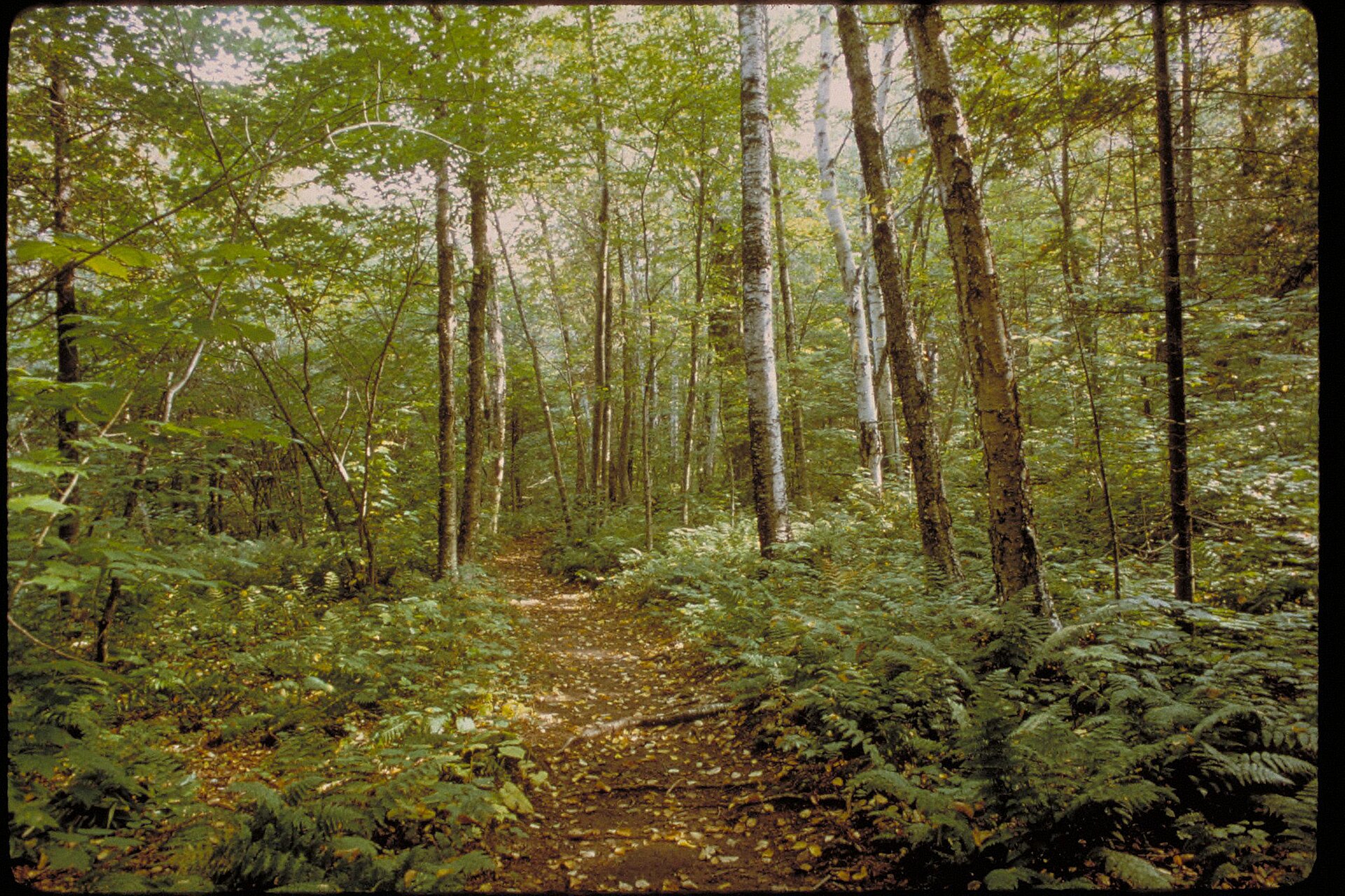
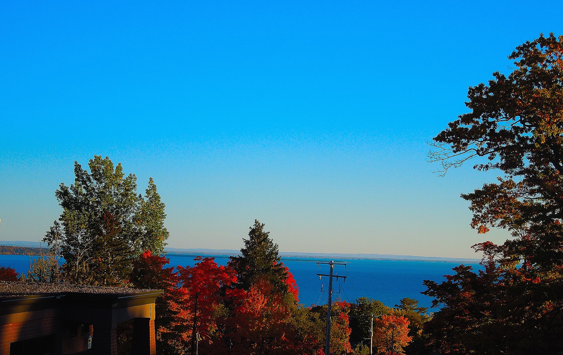
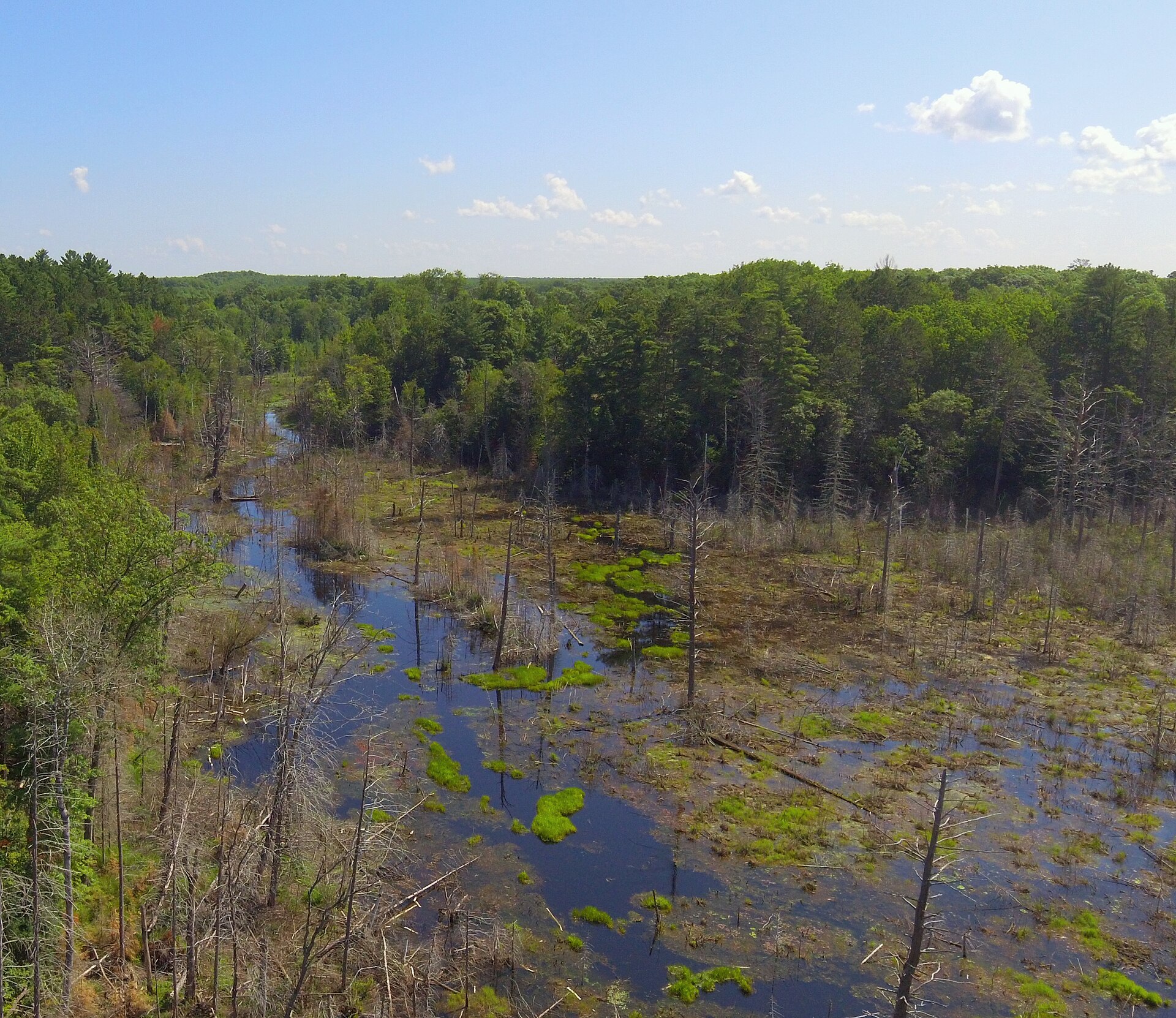
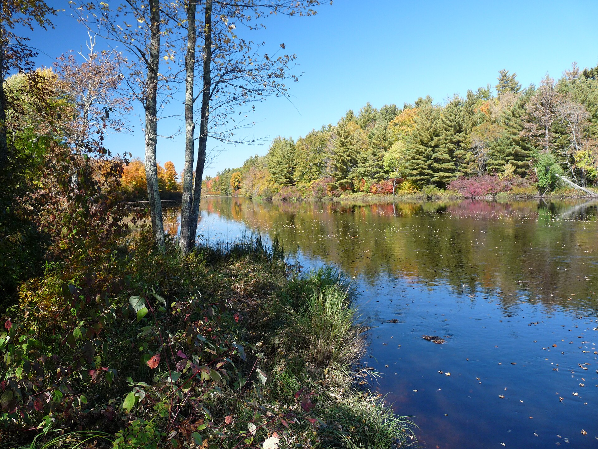
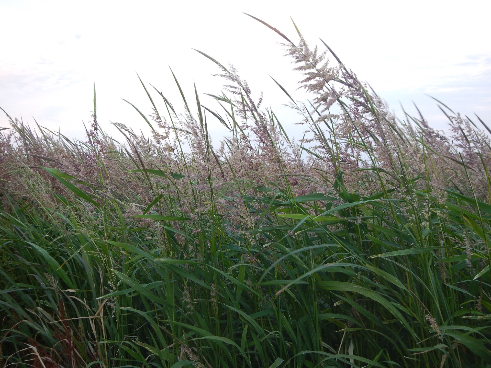
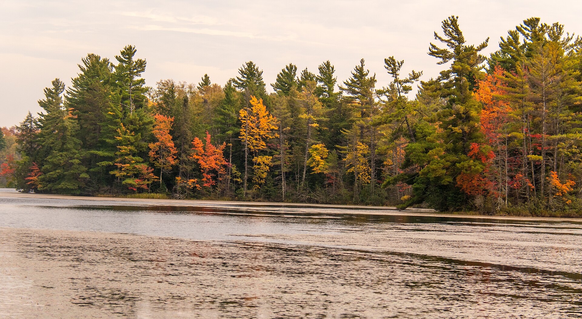
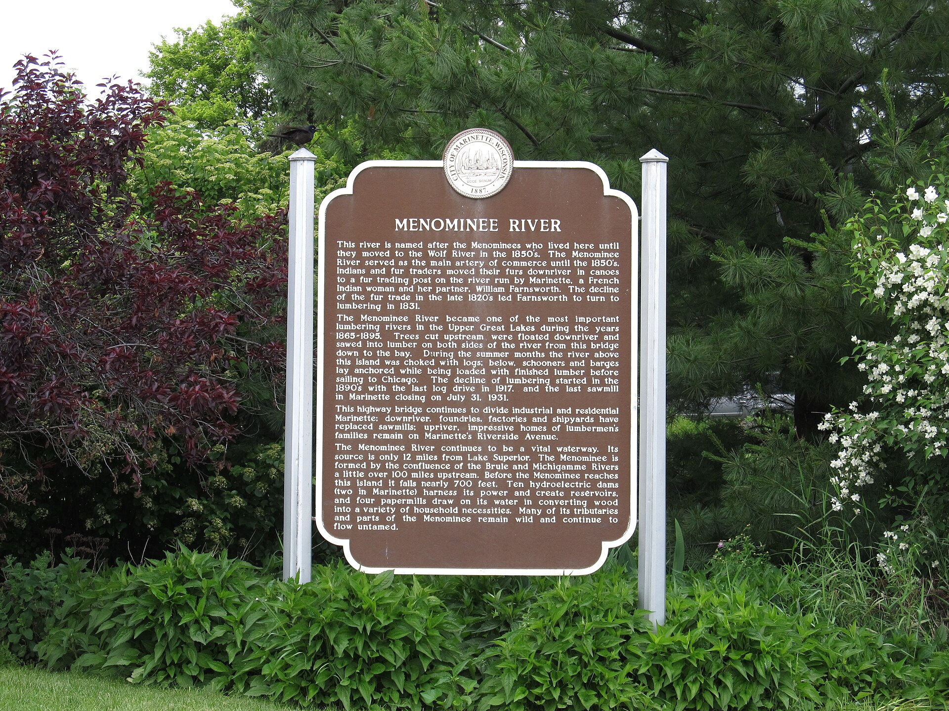
Forest and shoreline landscape at Apostle Islands National Lakeshore in Wisconsin
Hero image Forest and shoreline landscape at Apostle Islands National Lakeshore in Wisconsin NPS staff · Public domain
Wide view over Chequamegon Bay in northern Wisconsin
Lake Superior region card Wide view over Chequamegon Bay in northern Wisconsin Corey Coyle · CC BY 3.0
Aerial view of Lac du Flambeau wetlands in Wisconsin
Wetlands destination card Aerial view of Lac du Flambeau wetlands in Wisconsin Ron Frazier from Bloomington IL, United States · CC BY 2.0
Flambeau River State Forest landscape in northern Wisconsin
Forest and river route card Flambeau River State Forest landscape in northern Wisconsin Jeff the quiet · CC0
Northern wild rice plants growing in wetland grasses
Wild rice and source-status card Northern wild rice plants growing in wetland grasses Matt Lavin · CC BY-SA 2.0
Autumn trees along Perch Lake in Chequamegon-Nicolet National Forest
Northwoods gallery card Autumn trees along Perch Lake in Chequamegon-Nicolet National Forest usfs_Eastern_Region · Public domain
The Menominee River at Marinette, Wisconsin
River gallery card The Menominee River at Marinette, Wisconsin Ken Lund · CC BY-SA 2.0

Image credits

Photo credits

All photos are open-license Wisconsin landscapes from Wikimedia Commons and the U.S. National Park Service. No imagery depicts people, regalia, or cultural objects; final media would use NATOW or Tribal-approved photography.

Wild rice and source-status card CC BY-SA 2.0 Matt Lavin
River gallery card CC BY-SA 2.0 Ken Lund