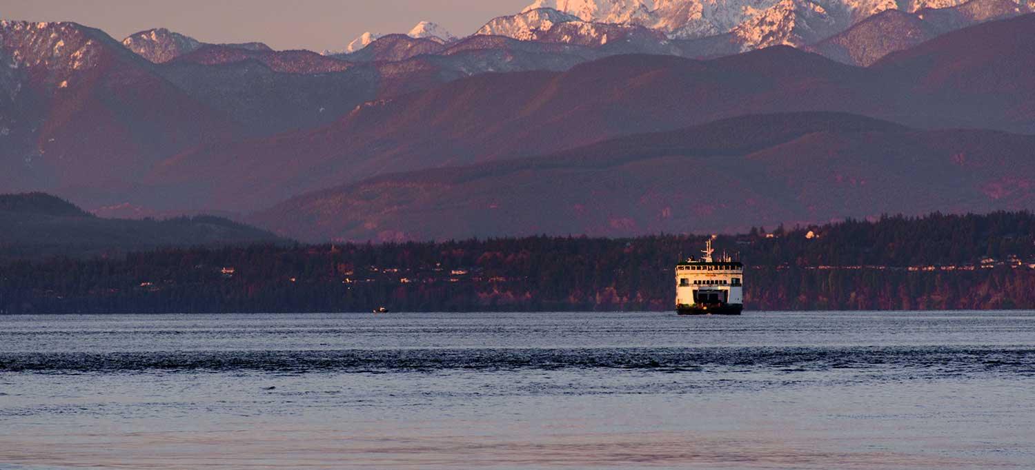
The Clinton Ferry
By ferry · Mukilteo to Clinton · Whidbey Island
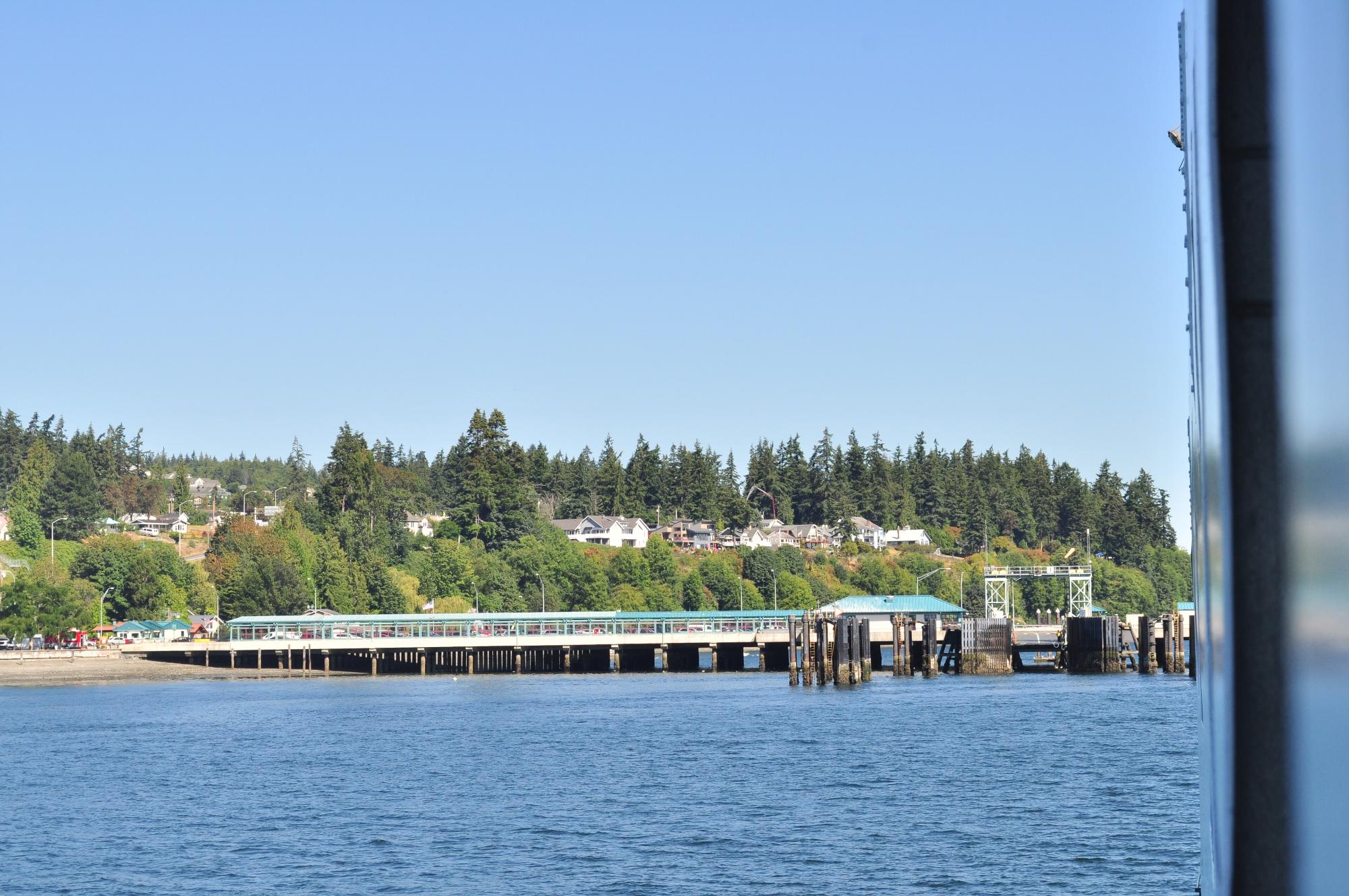
Photo: Joe Mabel (CC BY-SA 3.0)
- The crossing itself is around 15 minutes.
- Service generally begins shortly after 5 a.m. and runs until 1 a.m.
- Typically two boats serve the route, carrying 120 to 140 vehicles each.
- You can walk on, and the return trip for walk-on passengers is free.
- Fridays, especially going into three-day weekends, are prone to backups at the holding lanes.
You disembark in Clinton, the seaside community at the island's south end. Langley, Freeland, Bayview and Greenbank are all up the road from the dock.
What is in reach of Clinton
The Coupeville Ferry
By ferry · Port Townsend to Coupeville · Whidbey Island
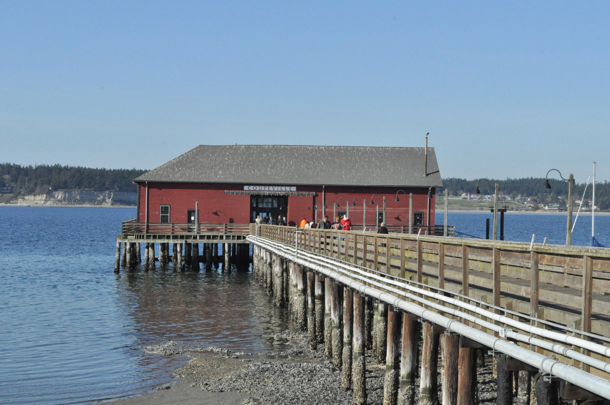
Photo: Joe Mabel (CC BY-SA 3.0)
- The terminal is not in Coupeville itself: it sits about 3 miles away, next to Fort Casey State Park.
- Reservations are recommended, made at least a day before you travel.
- Summer service typically runs two boats; check current vessel status before you go.
You land beside Fort Casey State Park on the island's central reach, with Coupeville, Penn Cove and Ebey's Landing minutes away.
What is in reach of Coupeville
The Deception Pass Bridge
By bridge · State Route 20 over Deception Pass · Whidbey Island
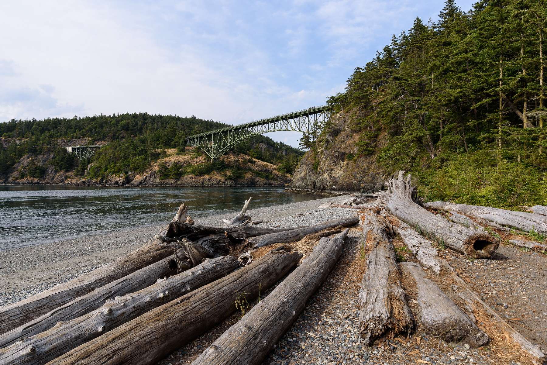
Photo: King of Hearts (CC BY-SA 4.0)
- From the south, take I-5 exit 226 and drive about 4 miles to cross the bridge onto Whidbey.
- The 1935 steel cantilever bridge crosses a genuine tidal rapid; the pullouts on both ends fill early on summer weekends.
- No ferry, no fare, no schedule. The north door is open whenever you are.
You arrive at the island's north end near Deception Pass State Park, with Oak Harbor about 10 miles south.
What is in reach of Deception Pass
The Camano Gateway Bridge
By bridge · I-5 exit 212 through Stanwood · Camano Island
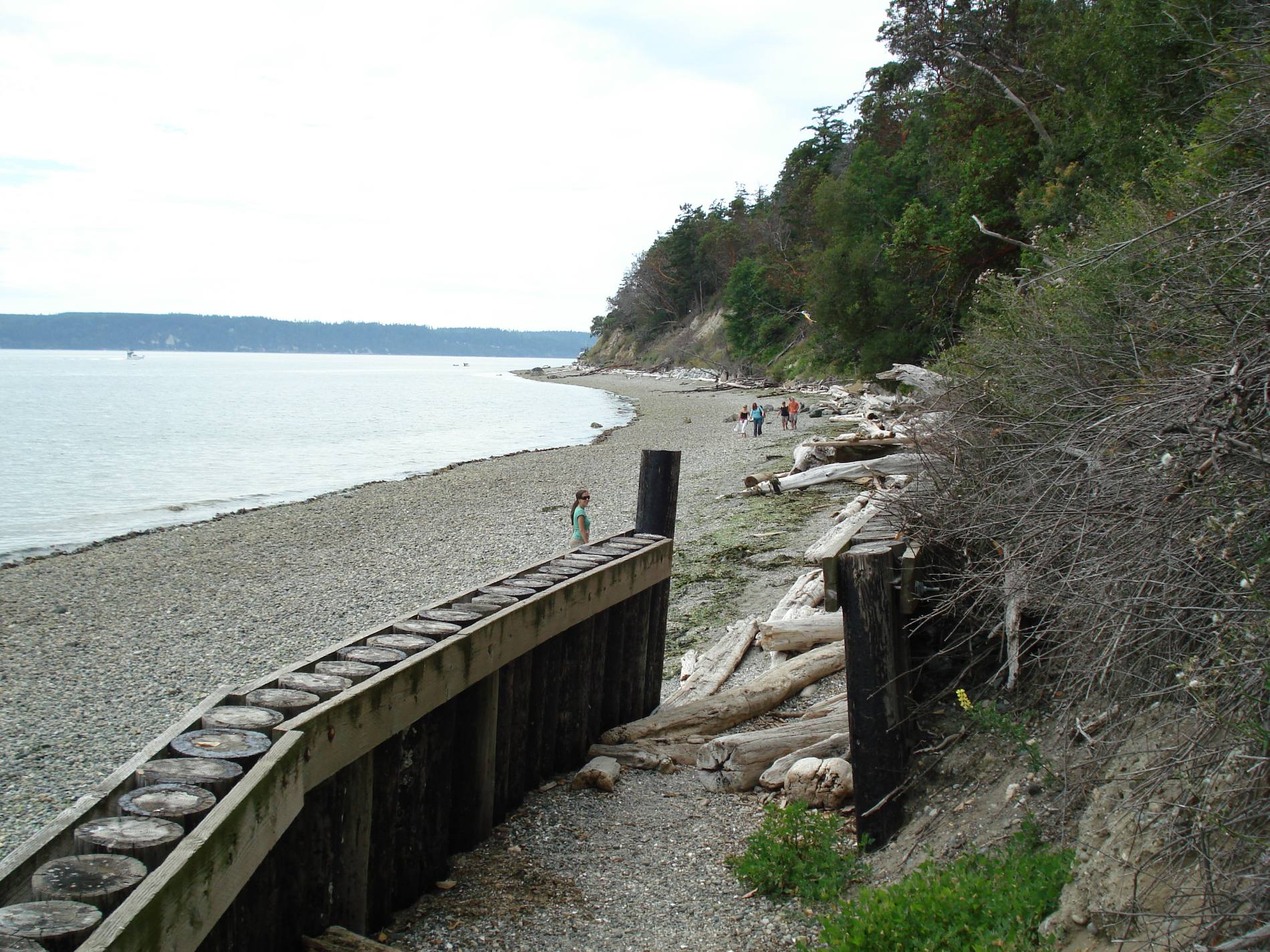
Photo: Cody Logan (CC BY-SA 3.0)
- Take I-5 exit 212 west, pass through Stanwood, and continue over the Camano Gateway Bridge onto the island.
- You don't have to take a ferry, yet the island has this remote feel even though it's just minutes from the freeway.
- Amtrak and Sounder rail can drop you at Stanwood, with bus connections to complete your trip.
You cross onto Camano near Utsalady at the island's north end, with the state parks down the west shore.
What is in reach of Camano Gateway